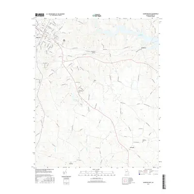
2017 Map of Elberton East
USGS Topo · Published 2017About this map
The textile heritage of Elbert County is anchored by the Silk Mills district on the northeastern edge of Elberton, showing the expansion of the town's industrial footprint toward the rural landscape. This survey reveals a community deeply rooted in its local geography, with a dense network of family and community landmarks like Mobley Hill Cem and Flatwoods Pentecostal Cem scattered across the undulating terrain. To the east, the waters of Richard B Russell Lake and the winding course of Wahatchee Cr define the natural borders of the region.
Find a feature on this map
115 named features on this map. Tap any name to fly to it.
Don’t see what you’re looking for? This feature index may not catch every label — zoom into the map to look around manually.
Map Details
Editions of this 2017 Elberton East Map
This is the sole edition of this map. No revisions or reprints were ever made.
Other maps of this area
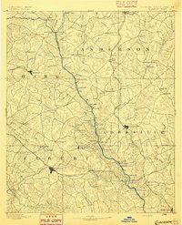
1893 · Elberton
USGS Topo · 1:125,000
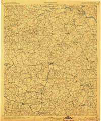
1906 · Crawfordville
USGS Topo · 1:125,000
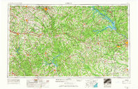
1953 · Athens
USGS Topo · 1:250,000
1954 · Greenville
USGS Topo · 1:250,000
1955 · Broad
USGS Topo · 1:24,000
1958 · Greenville
USGS Topo · 1:250,000
1958 · Athens
USGS Topo · 1:250,000
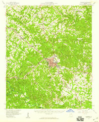
1958 · Elberton
USGS Topo · 1:62,500
1959 · Athens
USGS Topo · 1:250,000
1963 · Athens
USGS Topo · 1:250,000