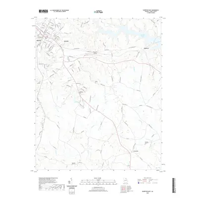
2020 Map of Elberton East
USGS Topo · Published 2020About this map
The Elbert County Courthouse anchors the western edge of this 2020 landscape, marking the seat of government where the street grid of Elberton transitions into the rolling terrain of eastern Georgia. Evidence of the region's industrial and agricultural history is found in places like Silk Mills and the outlying communities of Middleton and Fortsonia. The local geography is defined by a dense network of watercourses, including Wahatchee Cr, Dry Fork, and Falling Cr, which drain toward the significant expanse of Richard B Russell Lake in the northeast.
Find a feature on this map
119 named features on this map. Tap any name to fly to it.
Don’t see what you’re looking for? This feature index may not catch every label — zoom into the map to look around manually.
Map Details
Editions of this 2020 Elberton East Map
This is the sole edition of this map. No revisions or reprints were ever made.
Other maps of this area

1893 · Elberton
USGS Topo · 1:125,000

1906 · Crawfordville
USGS Topo · 1:125,000

1953 · Athens
USGS Topo · 1:250,000

1954 · Greenville
USGS Topo · 1:250,000

1955 · Broad
USGS Topo · 1:24,000

1958 · Greenville
USGS Topo · 1:250,000

1958 · Athens
USGS Topo · 1:250,000

1958 · Elberton
USGS Topo · 1:62,500

1959 · Athens
USGS Topo · 1:250,000

1963 · Athens
USGS Topo · 1:250,000