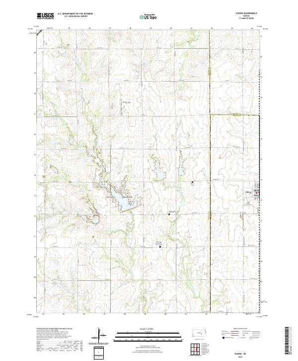
2022 Map of Elbing
USGS Topo · Published 2022About this map
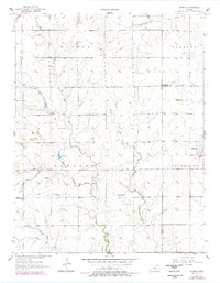
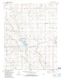
Elbing sits at the eastern edge of this agricultural landscape in the 2020s, a region defined by the convergence of several prairie waterways. The town's grid is situated near the Butler Co line, while the surrounding countryside is marked by numerous family and community sites of high genealogical value. These include the Grace Hill Mennonite Church Cem, the Mission Cem, and the secluded Horace Hays Gravesite. The terrain is characterized by the branching drainages of the W Br Whitewater Cr and E Br Whitewater Cr, along with Gypsum Cr and Dry Cr. Local geography is further distinguished by named landmarks like Crown Point, Needle Point, and Catfish Point, while the presence of Vintage Field suggests the area's continued role in resource extraction or specialized land use.
Find a feature on this map
90 named features on this map. Tap any name to fly to it.
Don’t see what you’re looking for? This feature index may not catch every label — zoom into the map to look around manually.
Map Details
Editions of this 2022 Elbing Map
This is the sole edition of this map. No revisions or reprints were ever made.