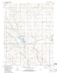
1989 Map of Elbing
USGS Topo · Published 1990About this map
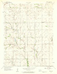
Harvey County East Park Lake serves as a central geographical landmark on this prairie landscape, where the West Branch Whitewater Creek and East Branch Whitewater Creek converge. The terrain is characterized by the rural settlements of Elbing and Walton, with various oil production sites and pipelines indicating the area's mid-century energy development. Recreation and education are represented by points such as Walton Landing, Lakeview Landing, and the Berean Academy campus in Elbing.
Find a feature on this map
30 named features on this map. Tap any name to fly to it.
Don’t see what you’re looking for? This feature index may not catch every label — zoom into the map to look around manually.
Map Details
Editions of this 1989 Elbing Map
This is the sole edition of this map. No revisions or reprints were ever made.
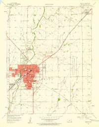
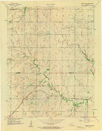
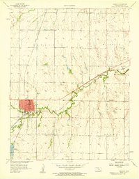
Other maps of this area

1889 · Newton
USGS Topo · 1:125,000

1889 · Wichita
USGS Topo · 1:125,000

1894 · Wichita
USGS Topo · 1:125,000

1894 · Newton
USGS Topo · 1:125,000

1955 · Wichita
USGS Topo · 1:250,000

1955 · Hutchinson
USGS Topo · 1:250,000
1957 · Newton
USGS Topo · 1:24,000
1957 · Peabody NW
USGS Topo · 1:24,000
1957 · Peabody
USGS Topo · 1:24,000
1957 · Elbing
USGS Topo · 1:24,000