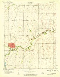
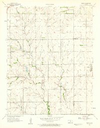
1957 Map of Peabody
USGS Topo · Published 1958About this map
Peabody serves as a significant rail junction in the mid-1950s, where the Chicago Rock Island and Pacific and the Atchison Topeka and Santa Fe railroads intersect. The landscape is a mix of agricultural township divisions, including Catlion, Fairplay, and Summit, and a developing petroleum industry. The presence of the Unger Oil Field and numerous individual Oil Wells across the northern sections highlights the region's mid-century economic shift towards energy production.
Find a feature on this map
21 named features on this map. Tap any name to fly to it.
Don’t see what you’re looking for? This feature index may not catch every label — zoom into the map to look around manually.
Map Details
Editions of this 1957 Peabody Map
This is the sole edition of this map. No revisions or reprints were ever made.
Other maps of this area

1889 · Newton
USGS Topo · 1:125,000

1894 · Newton
USGS Topo · 1:125,000

1898 · Cottonwood Falls
USGS Topo · 1:125,000

1955 · Hutchinson
USGS Topo · 1:250,000
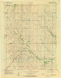
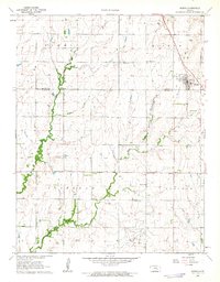
1957 · Peabody NW
USGS Topo · 1:24,000
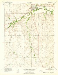
1957 · Florence
USGS Topo · 1:24,000
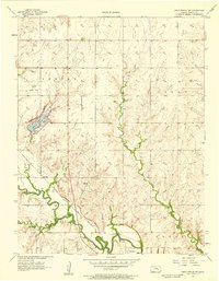
1957 · Lincolnville SW
USGS Topo · 1:24,000
1957 · Elbing
USGS Topo · 1:24,000

1959 · Hutchinson
USGS Topo · 1:250,000
1962 · Burns
USGS Topo · 1:24,000