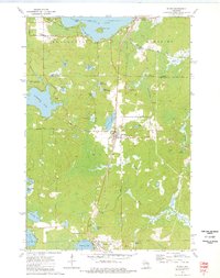
1973 Map of Elcho
USGS Topo · Published 1977About this map
Elcho serves as the central hub of this Northwoods landscape, where the Chicago and North Western railway runs parallel to Otter Lake. The map reveals a post-war recreational and timber environment, marked by numerous glacial water bodies including the expansive Pelican Lake and Enterprise Lake. Evidence of the region's logging heritage is preserved in the Old Railroad Grade and Old RR Grade alignments that cut through the townships of Enterprise and Schoepke. Local history is anchored by St Johns Ch and the Enterprise Cem in the northwest, while small clusters like Pratt Junction and Pedro denote former rail sidings or crossroads. From the Ranger Sta near Summit Lake to the secluded Airhole Lake, the map documents a transition between early industrial transport and mid-century lakeside settlement.
Find a feature on this map
54 named features on this map. Tap any name to fly to it.
Don’t see what you’re looking for? This feature index may not catch every label — zoom into the map to look around manually.
Map Details
Editions of this 1973 Elcho Map
This is the sole edition of this map. No revisions or reprints were ever made.
Other maps of this area

1940 · Parrish
USGS Topo · 1:48,000

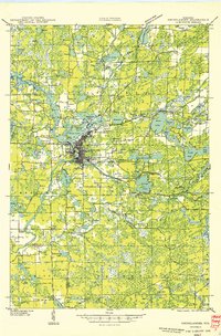
1940 · Monico
USGS Topo · 1:48,000

1940 · Rhinelander
USGS Topo · 1:48,000

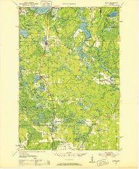
1942 · Elcho
USGS Topo · 1:48,000
1949 · Rhinelander
USGS Topo · 1:48,000

1950 · Monico
USGS Topo · 1:48,000
1950 · Elcho
USGS Topo · 1:48,000
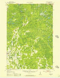
1950 · Parrish
USGS Topo · 1:48,000

1952 · Parrish
USGS Topo · 1:48,000

1954 · Iron Mountain
USGS Topo · 1:250,000