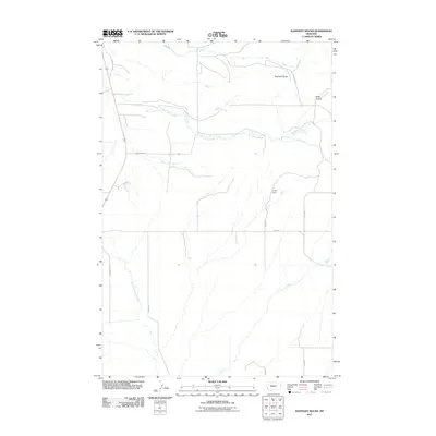
2011 Map of Elephant Rocks
USGS Topo · Published 2011About this map
Elephant Rocks rise above the drainage systems of Central Montana in this early 21st-century study of the Judith Gap area. The landscape is defined by the winding course of Ross Fork Creek and its many tributaries, including Hyde Creek and Meadow Creek, which cut through a region of scattered ranch roads and section lines. Human modification of the water table is evident at the C Volf Dam, situated near the confluence of several unnamed draws. The map details a transit network established by Garnell Loop and Garnell Rd, which connect the rural homesteads to the broader region. To the south, the headwaters of East Fork Roberts Creek illustrate the high-plains hydrology that dictates the placement of local infrastructure and agricultural boundaries.
Find a feature on this map
17 named features on this map. Tap any name to fly to it.
Don’t see what you’re looking for? This feature index may not catch every label — zoom into the map to look around manually.
Map Details
Editions of this 2011 Elephant Rocks Map
This is the sole edition of this map. No revisions or reprints were ever made.
Other maps of this area

1889 · Big Snowy Mountain
USGS Topo · 1:250,000

1893 · Big Snowy Mountain
USGS Topo · 1:250,000

1954 · Roundup
USGS Topo · 1:250,000

1958 · Roundup
USGS Topo · 1:250,000
1970 · Buffalo
USGS Topo · 1:24,000

1970 · Crystal Lake
USGS Topo · 1:24,000
1970 · Moore SW
USGS Topo · 1:24,000
1986 · Oka
USGS Topo · 1:24,000
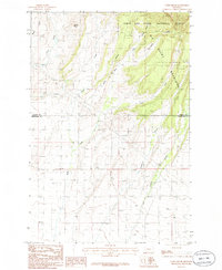
1986 · Yaple Bench
USGS Topo · 1:24,000
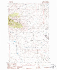
1986 · Judith Gap
USGS Topo · 1:24,000