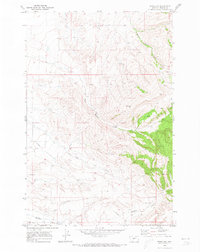
1970 Map of Moore SW
USGS Topo · Published 1973About this map
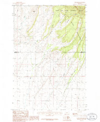
The small settlement of Garneill sits at the southwestern edge of this 1970 Fergus County survey, marking a quiet point of transition in the high plains landscape. The area is defined by a network of drainage systems, including East Buffalo Creek and the meandering Little Trout Creek, which cut through the undulating terrain. A distinct Pipeline corridor and a series of JEEP TRAILs cross the map, indicating the development of regional infrastructure and land management during this era.
Find a feature on this map
10 named features on this map. Tap any name to fly to it.
Don’t see what you’re looking for? This feature index may not catch every label — zoom into the map to look around manually.
Map Details
Editions of this 1970 Moore SW Map
This is the sole edition of this map. No revisions or reprints were ever made.
Other maps of this area

1889 · Big Snowy Mountain
USGS Topo · 1:250,000

1893 · Big Snowy Mountain
USGS Topo · 1:250,000

1954 · Roundup
USGS Topo · 1:250,000

1958 · Roundup
USGS Topo · 1:250,000
1970 · Buffalo
USGS Topo · 1:24,000

1970 · Crystal Lake
USGS Topo · 1:24,000

1970 · Moore
USGS Topo · 1:24,000
1970 · West Fork Beaver Creek
USGS Topo · 1:24,000
1970 · Sipple
USGS Topo · 1:24,000
1986 · Yaple Bench
USGS Topo · 1:24,000