
1970 Map of Moore
USGS Topo · Published 1973About this map
Moore serves as the central hub of this Fergus County landscape, where the Chicago Milwaukee St Paul and Pacific railroad bisects the town diagonally. The settlement's layout is defined by its proximity to the rail line and the presence of Landing Strips and a WT (water tower), reflecting its role as a transportation and agricultural waypoint. To the west, Eddies Corner marks a junction of primary highways, including 87 191, which cross the undulating prairie.
Find a feature on this map
19 named features on this map. Tap any name to fly to it.
Don’t see what you’re looking for? This feature index may not catch every label — zoom into the map to look around manually.
Map Details
Editions of this 1970 Moore Map
This is the sole edition of this map. No revisions or reprints were ever made.
Other maps of this area

1889 · Big Snowy Mountain
USGS Topo · 1:250,000

1893 · Big Snowy Mountain
USGS Topo · 1:250,000

1954 · Roundup
USGS Topo · 1:250,000

1954 · Lewistown
USGS Topo · 1:250,000

1958 · Roundup
USGS Topo · 1:250,000

1959 · Lewistown
USGS Topo · 1:250,000
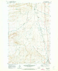
1970 · Buffalo
USGS Topo · 1:24,000

1970 · Glengarry
USGS Topo · 1:24,000

1970 · Crystal Lake
USGS Topo · 1:24,000
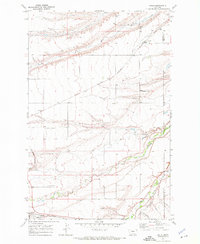
1970 · Kolin
USGS Topo · 1:24,000