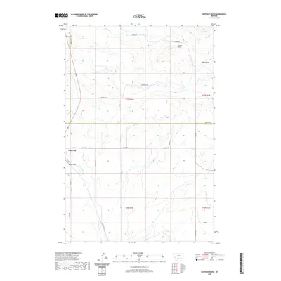
2020 Map of Elephant Rocks
USGS Topo · Published 2020About this map
Judith Gap sits at the western edge of this central Montana landscape, where the prairie begins to break into the distinctive geological formations of Elephant Rocks. The terrain is defined by a network of drainage systems, including Ross Fork Cr and Meadow Cr, which carve through the high plains. The map reveals a transition between Judith Basin, Fergus, and Wheatland counties, highlighting a rural infrastructure of named ranch roads and local corridors.
Find a feature on this map
22 named features on this map. Tap any name to fly to it.
Don’t see what you’re looking for? This feature index may not catch every label — zoom into the map to look around manually.
Map Details
Editions of this 2020 Elephant Rocks Map
This is the sole edition of this map. No revisions or reprints were ever made.
Other maps of this area

1889 · Big Snowy Mountain
USGS Topo · 1:250,000

1893 · Big Snowy Mountain
USGS Topo · 1:250,000

1954 · Roundup
USGS Topo · 1:250,000

1958 · Roundup
USGS Topo · 1:250,000
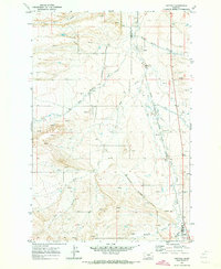
1970 · Buffalo
USGS Topo · 1:24,000

1970 · Crystal Lake
USGS Topo · 1:24,000
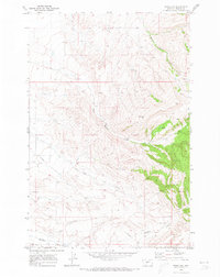
1970 · Moore SW
USGS Topo · 1:24,000
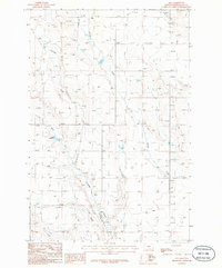
1986 · Oka
USGS Topo · 1:24,000
1986 · Yaple Bench
USGS Topo · 1:24,000
1986 · Judith Gap
USGS Topo · 1:24,000