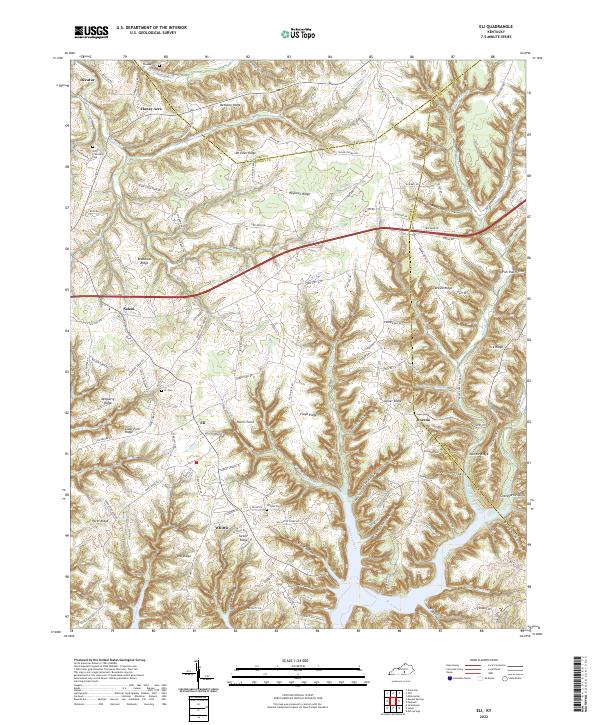
2022 Map of Eli
USGS Topo · Published 2022About this map
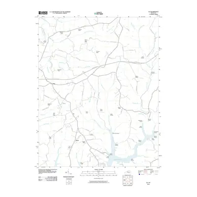
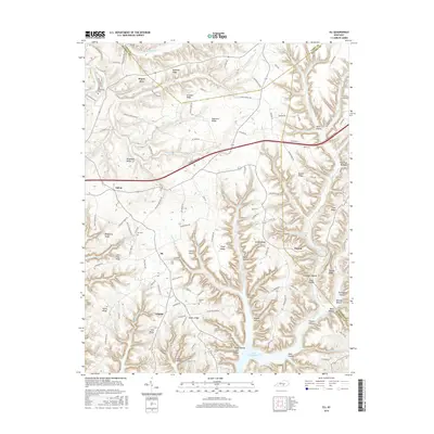
Eli and Whittle sit atop the high ridges of Russell County, where the Cumberland Plateau breaks into a complex system of deep hollows and narrow divides. This survey illustrates a landscape defined by its elevation, where residential settlements follow the winding paths of Bethany Ridge and Mt Eden Ridge to avoid the steep drainages below. Family and local history is anchored at sites like the Eli Cem and Whittle Cem, which serve as vital reference points for researchers tracing the area's rural genealogy.
Find a feature on this map
133 named features on this map. Tap any name to fly to it.
Don’t see what you’re looking for? This feature index may not catch every label — zoom into the map to look around manually.
Map Details
Editions of this 2022 Eli Map
This is the sole edition of this map. No revisions or reprints were ever made.
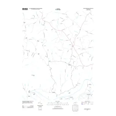
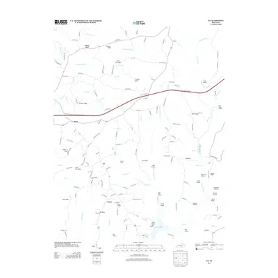
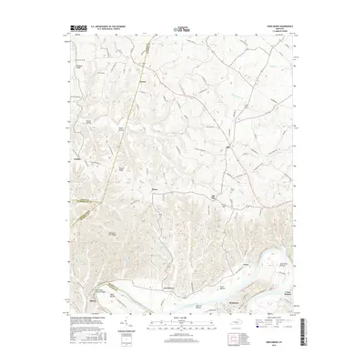
Historical Maps of Honey Acre Through Time
13 maps found
1953 Creelsboro
Russell County, KY
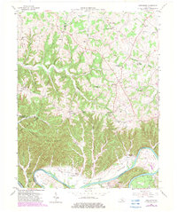
1954 Eli
Russell County, KY
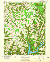
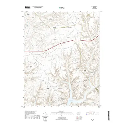
1973 Eli
Russell County, KY

2010 Creelsboro
Russell County, KY
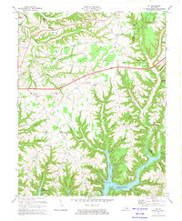
2010 Eli
Russell County, KY
2013 Creelsboro
Russell County, KY
2013 Eli
Russell County, KY
2016 Creelsboro
Russell County, KY
2016 Eli
Russell County, KY
2019 Creelsboro
Russell County, KY
2019 Eli
Russell County, KY
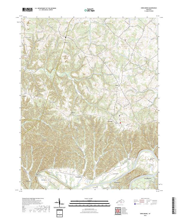
2022 Creelsboro
Russell County, KY
2022 Eli
Russell County, KY