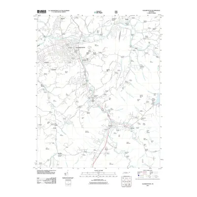
2011 Map of Elizabethton
USGS Topo · Published 2011About this map
Elizabethton serves as the focal point of this Carter County landscape, where the Watauga River meets the Doe River near the historic Elizabethton Covered Bridge. The 2011 survey reveals an established industrial and residential footprint, featuring districts like Bemberg and Rayon Terrace, alongside the essential Elizabethton Municipal Airport. Beyond the urban center, the terrain rises sharply toward Lynn Mountain and the dramatic Doe River Gorge to the south.
Find a feature on this map
164 named features on this map. Tap any name to fly to it.
Don’t see what you’re looking for? This feature index may not catch every label — zoom into the map to look around manually.
Map Details
Editions of this 2011 Elizabethton Map
This is the sole edition of this map. No revisions or reprints were ever made.
Other maps of this area

1891 · Roan Mountain
USGS Topo · 1:125,000

1894 · Roan Mountain
USGS Topo · 1:125,000

1904 · Roan Mountain
USGS Topo · 1:125,000

1934 · White Rocks Mtn
USGS Topo · 1:24,000

1934 · Iron Mtn Gap
USGS Topo · 1:24,000

1935 · Watauga Valley
USGS Topo · 1:48,000
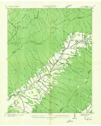
1935 · Carter
USGS Topo · 1:24,000

1935 · Elizabethton
USGS Topo · 1:24,000
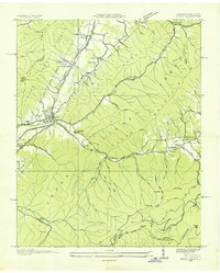
1935 · Unicoi
USGS Topo · 1:24,000
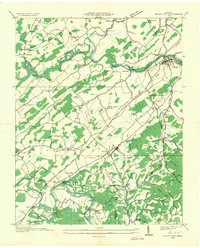
1935 · Bluff City
USGS Topo · 1:24,000