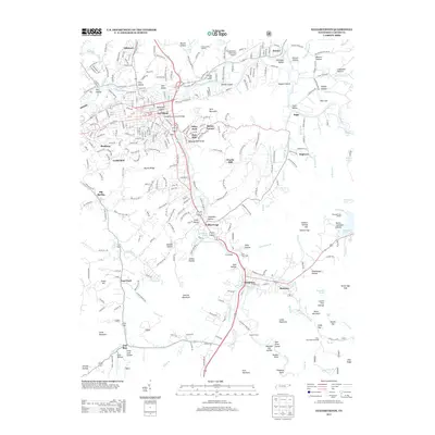
2013 Map of Elizabethton
USGS Topo · Published 2013About this map
Elizabethton Covered Bridge spans the Doe River in this detailed 2013 survey, reflecting a community defined by its confluence of river valleys and industrial heritage. The map records the sprawling residential and commercial reaches of Elizabethton, including historical neighborhoods like Bemberg, Cat Island, and Biltmore. Outside the urban center, the landscape transitions into the steep relief of Lynn Mountain and the water-rich areas near Watauga Lake and Wilbur Lake. The map highlights the significant geography of the Doe River Gorge and the Watauga Old Fields, places deeply connected to the early settlement of East Tennessee. To the south, the terrain becomes more rugged toward Fork Mountain, featuring infrastructure such as the First Tunnel and Second Tunnel, which underscore the historical engineering required to navigate this portion of the Appalachian foothills.
Find a feature on this map
99 named features on this map. Tap any name to fly to it.
Don’t see what you’re looking for? This feature index may not catch every label — zoom into the map to look around manually.
Map Details
Editions of this 2013 Elizabethton Map
This is the sole edition of this map. No revisions or reprints were ever made.
Other maps of this area

1891 · Roan Mountain
USGS Topo · 1:125,000

1894 · Roan Mountain
USGS Topo · 1:125,000

1904 · Roan Mountain
USGS Topo · 1:125,000

1934 · White Rocks Mtn
USGS Topo · 1:24,000

1934 · Iron Mtn Gap
USGS Topo · 1:24,000

1935 · Watauga Valley
USGS Topo · 1:48,000
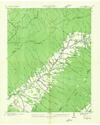
1935 · Carter
USGS Topo · 1:24,000

1935 · Elizabethton
USGS Topo · 1:24,000
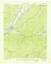
1935 · Unicoi
USGS Topo · 1:24,000
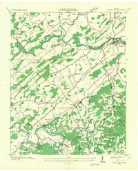
1935 · Bluff City
USGS Topo · 1:24,000