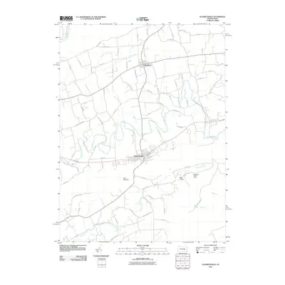
2010 Map of Elizabethville
USGS Topo · Published 2010About this map
Elizabethville and Berrysburg anchor this valley landscape at the base of Berry Mountain, where agriculture and woodland define the rural Pennsylvania corridor. The survey highlights a complex network of waterways, including the winding Wiconisco Creek and its tributary Little Wiconisco Creek, which cut through the lowlands north of the mountain ridge. Farther south, Armstrong Creek flows through the valley near the Rowland Picnic Area, reflecting the area's mix of community recreation and natural drainage patterns.
Find a feature on this map
76 named features on this map. Tap any name to fly to it.
Don’t see what you’re looking for? This feature index may not catch every label — zoom into the map to look around manually.
Map Details
Editions of this 2010 Elizabethville Map
This is the sole edition of this map. No revisions or reprints were ever made.
Other maps of this area

1892 · Lykens
USGS Topo · 1:62,500

1892 · Hummelstown
USGS Topo · 1:62,500

1892 · Harrisburg
USGS Topo · 1:62,500

1893 · Lykens
USGS Topo · 1:62,500

1893 · Millersburg
USGS Topo · 1:62,500

1899 · Harrisburg
USGS Topo · 1:62,500

1924 · Hummelstown
USGS Topo · 1:62,500

1924 · Harrisburg
USGS Topo · 1:62,500

1943 · Millersburg
USGS Topo · 1:62,500

1943 · Lykens
USGS Topo · 1:62,500
Featured Places
- Elizabethville, PA
- Wiconisco Township, PA
- Berrysburg, Mifflin Township
- Matterstown, Washington Township
- Loyalton, Washington Township