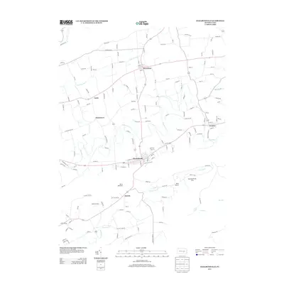
2013 Map of Elizabethville
USGS Topo · Published 2013About this map
Elizabethville serves as the primary hub for this portion of the northern Dauphin County valley, situated between the prominent ridge of Berry Mountain and the agricultural lands to the north. The landscape is defined by the winding course of Wiconisco Cr and its tributaries, including Little Wiconisco Cr and Armstrong Cr, which historically shaped the placement of local settlements and infrastructure. Smaller communities such as Berrysburg, Loyalton, and Dietrich are connected by a network of rural roads that reflect generations of land use, while Matterstown and Cartin further illustrate the dispersed residential pattern of the region.
Find a feature on this map
138 named features on this map. Tap any name to fly to it.
Don’t see what you’re looking for? This feature index may not catch every label — zoom into the map to look around manually.
Map Details
Editions of this 2013 Elizabethville Map
This is the sole edition of this map. No revisions or reprints were ever made.
Other maps of this area

1892 · Lykens
USGS Topo · 1:62,500

1892 · Hummelstown
USGS Topo · 1:62,500

1892 · Harrisburg
USGS Topo · 1:62,500

1893 · Lykens
USGS Topo · 1:62,500

1893 · Millersburg
USGS Topo · 1:62,500

1899 · Harrisburg
USGS Topo · 1:62,500

1924 · Hummelstown
USGS Topo · 1:62,500

1924 · Harrisburg
USGS Topo · 1:62,500

1943 · Millersburg
USGS Topo · 1:62,500

1943 · Lykens
USGS Topo · 1:62,500
Featured Places
- Elizabethville, PA
- Wiconisco Township, PA
- Berrysburg, Mifflin Township
- Matterstown, Washington Township
- Loyalton, Washington Township