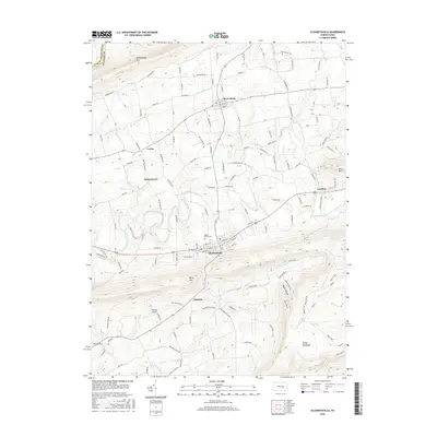
2016 Map of Elizabethville
USGS Topo · Published 2016About this map
Elizabethville serves as the primary hub of this valley landscape, situated between the high ridges of Berry Mtn and Mahantango Mtn. The 2016 survey details a region defined by narrow fertile valleys and agricultural corridors where settlements like Berrysburg, Loyalton, and Matterstown follow the path of the Wiconisco Creek. A notable genealogical landmark, the Maple Grove Cem, is located on the eastern edge of Elizabethville.
Find a feature on this map
126 named features on this map. Tap any name to fly to it.
Don’t see what you’re looking for? This feature index may not catch every label — zoom into the map to look around manually.
Map Details
Editions of this 2016 Elizabethville Map
This is the sole edition of this map. No revisions or reprints were ever made.
Other maps of this area

1892 · Lykens
USGS Topo · 1:62,500

1892 · Hummelstown
USGS Topo · 1:62,500

1892 · Harrisburg
USGS Topo · 1:62,500

1893 · Lykens
USGS Topo · 1:62,500

1893 · Millersburg
USGS Topo · 1:62,500

1899 · Harrisburg
USGS Topo · 1:62,500

1924 · Hummelstown
USGS Topo · 1:62,500

1924 · Harrisburg
USGS Topo · 1:62,500

1943 · Millersburg
USGS Topo · 1:62,500

1943 · Lykens
USGS Topo · 1:62,500
Featured Places
- Elizabethville, PA
- Wiconisco Township, PA
- Berrysburg, Mifflin Township
- Matterstown, Washington Township
- Loyalton, Washington Township