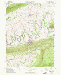
1969 Map of Elizabethville
USGS Topo · Published 1972About this map
Elizabethville serves as the central hub of this late-1960s landscape, situated in a valley between Berry Mountain and Wiconisco Mountain. The area exhibits a classic ridge-and-valley settlement pattern, with smaller communities like Berrysburg and Matterstown connected by a network of rural roads and the Penn Central railroad line. The map highlights the region's diverse land use, from the managed timber of Haldeman State Forest and State Game Lands No 264 to the winding course of Wiconisco Creek, which is crossed by multiple covered bridges.
Find a feature on this map
56 named features on this map. Tap any name to fly to it.
Don’t see what you’re looking for? This feature index may not catch every label — zoom into the map to look around manually.
Map Details
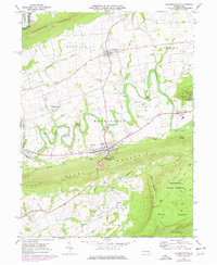
Editions of this 1969 Elizabethville Map
2 editions found
Other maps of this area

1892 · Lykens
USGS Topo · 1:62,500

1892 · Hummelstown
USGS Topo · 1:62,500

1892 · Harrisburg
USGS Topo · 1:62,500

1893 · Lykens
USGS Topo · 1:62,500

1893 · Millersburg
USGS Topo · 1:62,500

1899 · Harrisburg
USGS Topo · 1:62,500

1924 · Hummelstown
USGS Topo · 1:62,500

1924 · Harrisburg
USGS Topo · 1:62,500

1943 · Millersburg
USGS Topo · 1:62,500

1943 · Lykens
USGS Topo · 1:62,500
Featured Places
- Elizabethville, PA
- Wiconisco Township, PA
- Berrysburg, Mifflin Township
- Jackson Township, PA
- Jefferson Township, PA