2024 Map of Elk City
USGS Topo · Published 2024About this map
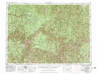
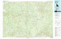
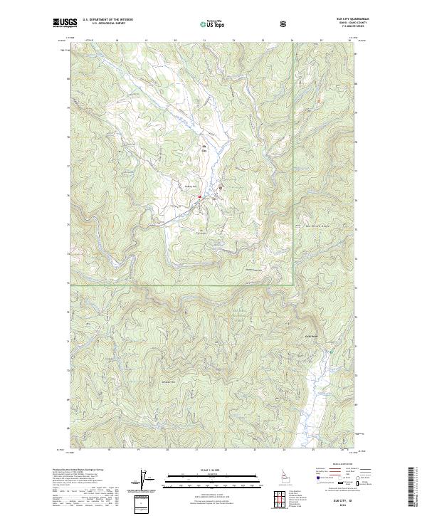
Elk City serves as the focal point of this Idaho County landscape, situated at the confluence of Little Elk Creek and the American River. This modern survey reveals a high-altitude settlement pattern defined by narrow valley corridors and steep timbered ridges within the Nez Perce National Forest. The local infrastructure, including the Elk City Airport and a dense network of forest roads like Mother Lode Rd and Red River Rd, reflects the area's long-standing connection to resource extraction and backcountry access.
Find a feature on this map
88 named features on this map. Tap any name to fly to it.
Don’t see what you’re looking for? This feature index may not catch every label — zoom into the map to look around manually.
Map Details
Editions of this 2024 Elk City Map
This is the sole edition of this map. No revisions or reprints were ever made.
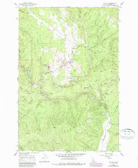
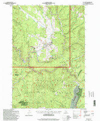
Historical Maps of Elk City Through Time
6 maps found