Old Maps of Elk City, Idaho
Explore 33 old maps of Elk City, spanning from 1931 to today. These high-resolution historic maps reveal how streets, neighborhoods, landmarks, and natural features evolved over time — perfect for genealogy, metal detecting, research, and local history exploration.
What you can do with these maps:
- See how Elk City changed over time: Compare historical maps to modern-day views to trace roads, homesites, rail lines & more.
- View detailed metadata: Each map includes creators, publishers, year, scale, and archive source.
- Overlay maps with satellite & LiDAR: Visualize the past alongside modern tools to explore terrain & human change.
- Trusted historical sources: Maps sourced from the USGS, Library of Congress, and other archives.
- Access maps your way: View online, download high-res files, or order prints for personal or research use.
Start exploring old maps of Elk City to uncover forgotten places, hidden landmarks, and the deep history beneath your feet.
Elk City, ID maps
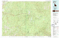
(33)- 1931 Map of Buffalo Hump, 1957 Print
 1931 Buffalo Hump1957 Print · USGSIdaho County’s high backcountry was a hub of gold mining and remote ranching in the years between the world wars. Genealogists and historians can locate family lands like the McComas Ranch and trace the operations of the Mother Lode Mine or New York Mine.
 - 1934 Map of Buffalo Hump
 1934 Buffalo Hump1934 Print · USGSIdaho County mining activity and forest settlement are captured here during the 1930s, documenting a remote region of the Nez Perce National Forest. Researchers can locate specific claims like the Mother Lode Mine or trace family roots at Orogrande and McComas Ranch.
 - 1956 Map of Elk City, 1963 Print
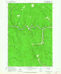
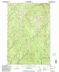
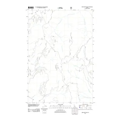
 1956 Elk City1963 Print · USGSThe Idaho backcountry in the mid-fifties remains a landscape of isolated mining camps and remote forest outposts. Researchers can trace historical mining operations at Stibnite Mine and Blackbird Mine or locate riverside landmarks like Mackay Bar and Campbell's Ferry.3 unique versions available
 - 1960 Map of Elk City
 1960 Elk City1960 Print · USGSThe Central Idaho wilderness and Bitterroot Range are captured here during the peak of mid-century industrial mining. Researchers can trace remote backcountry settlements like Burgdorf and Warren, alongside major mineral sites including the Blackbird Mine and Ima Mine.2 unique versions available
 - 1962 Map of Center Star Mtn, 1964 Print
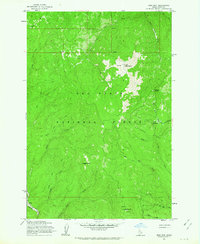
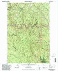
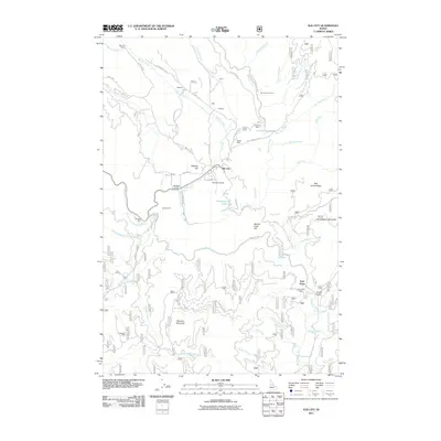
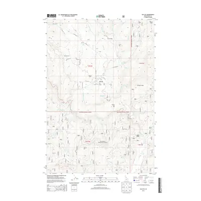
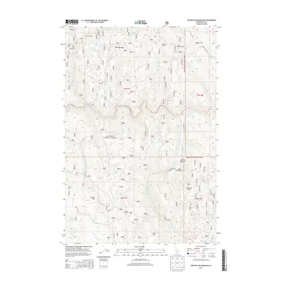
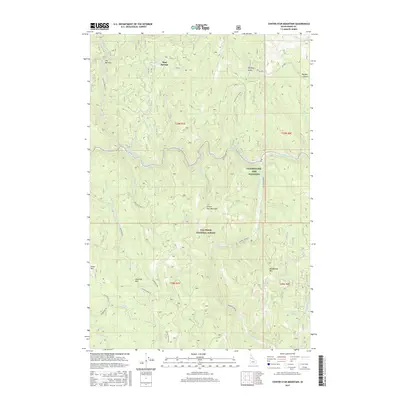
 1962 Center Star Mtn1964 Print · USGSThe Idaho backcountry in the early sixties reveals a landscape shaped by gold extraction and rugged transport routes. Researchers can trace the path of the Elk City Stage Road and locate numerous historic claims like the Center Star Mine and Coeur d'Alene Mine.4 unique versions available
 - 1962 Map of Iron Mtn, 1964 Print
 1962 Iron Mtn1964 Print · USGSIdaho County's backcountry is captured here in the early 1960s, showing the intersection of forest management and early mining history. Researchers can trace the Dredge Tailings along the American River or locate remote stations like the Elk Summit Lookout.3 unique versions available
 - 1966 Map of Elk City, 1968 Print
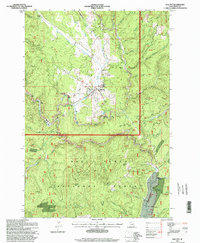
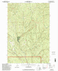
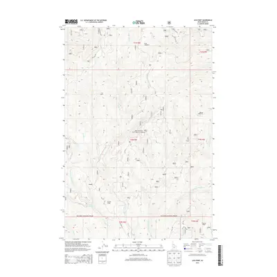
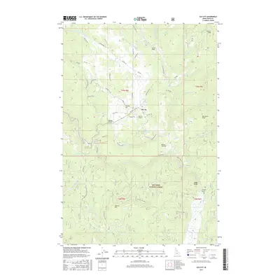
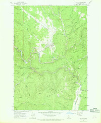 1966 Elk City1968 Print · USGSElk City and its surrounding gold-mining district are captured here in the mid-1960s when dredging and deep-shaft mining still defined the landscape. Researchers can locate specific legacy operations like the Sultan Shaft and Buster Mine or trace the old City Stage Road.3 unique versions available
 - 1966 Map of Lick Point, 1968 Print
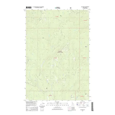
 1966 Lick Point1968 Print · USGSDeep in the Nez Perce National Forest during the mid-1960s, this area showcases the intersection of industrial mining and the Idaho wilderness. Researchers can trace the legacy of resource extraction through the Dredge and Tailings found along the American River.2 unique versions available
 - 1981 Map of Elk City
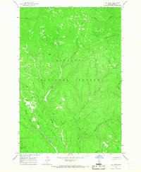
 1981 Elk City1981 Print · USGSIdaho County's gold-mining heartland is surveyed here in the early 1980s, from the river canyons to the high peaks. Genealogists and historians can trace numerous mining operations like the Mother Lode Mine and Golden Hand Mine, or locate remote settlements such as Orogrande and Elk City.2 unique versions available
 - 1995 Map of Iron Mountain, 1999 Print
 1995 Iron Mountain1999 Print · USGSIdaho County's high ridges and drainage basins are captured here in the mid-1990s, during a period of ongoing forest management and utility modernization. Genealogists and miners can locate the Iron Crown Mine, historic Dredge Tailings, and seasonal sites like Cow Camp.
 - 1995 Map of Elk City, 1999 Print
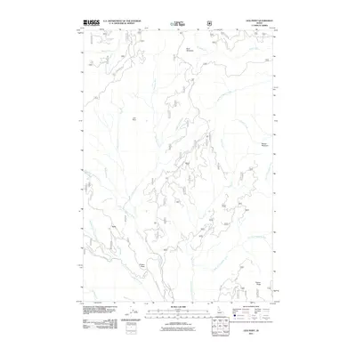
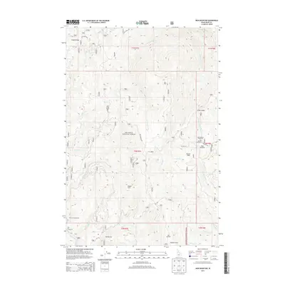
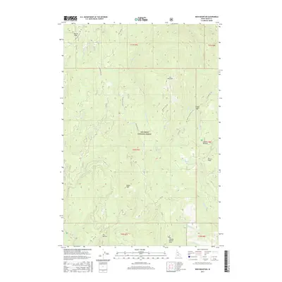
 1995 Elk City1999 Print · USGSElk City and its surrounding gold-mining district are captured here in the mid-1990s, set deep within the Idaho County mountains. Researchers can trace historical mining operations at the Sultan Shaft, Buster Mine, and the extensive Dredge Tailings along the river.
 - 1995 Map of Center Star Mountain, 1999 Print
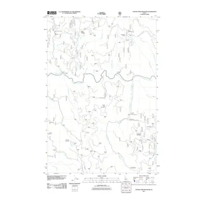
 1995 Center Star Mountain1999 Print · USGSIdaho's Clearwater River country was a hub of mining activity during the late twentieth century, showing a landscape defined by industry and forest management. Researchers can trace historic lode locations like the Wagner Mine, the Center Star Mill, and extensive Dredge Tailings along the riverbanks.
 - 1995 Map of Lick Point, 1999 Print
 1995 Lick Point1999 Print · USGSThe Nez Perce National Forest was still defined by its historic transit routes and drainage basins in the 1990s. Trace the paths of the Elk City Wagon Road and identify the location of Tailings near the American River to understand the area's mining and travel legacy.
 - 2011 Map of Elk City, 2011 Print
 2011 Elk City2011 Print · USGSCovers Elk City, including Idaho County, United States, and other nearby areas
 - 2011 Map of Center Star Mountain, 2011 Print
 2011 Center Star Mountain2011 Print · USGSCovers Elk City, including Idaho County, United States, and other nearby areas
 - 2011 Map of Lick Point, 2011 Print
 2011 Lick Point2011 Print · USGSCovers Elk City, including Idaho County, United States, and other nearby areas
 - 2011 Map of Iron Mountain, 2011 Print
 2011 Iron Mountain2011 Print · USGSCovers Elk City, including Idaho County, United States, and other nearby areas
 - 2013 Map of Lick Point, 2013 Print
 2013 Lick Point2013 Print · USGSCovers Elk City, including Idaho County, United States, and other nearby areas
 - 2013 Map of Elk City, 2013 Print
 2013 Elk City2013 Print · USGSCovers Elk City, including Idaho County, United States, and other nearby areas
 - 2013 Map of Iron Mountain, 2013 Print
 2013 Iron Mountain2013 Print · USGSCovers Elk City, including Idaho County, United States, and other nearby areas
 - 2013 Map of Center Star Mountain, 2013 Print
 2013 Center Star Mountain2013 Print · USGSCovers Elk City, including Idaho County, United States, and other nearby areas
 - 2017 Map of Center Star Mountain, 2017 Print
 2017 Center Star Mountain2017 Print · USGSCovers Elk City, including Idaho County, United States, and other nearby areas
 - 2017 Map of Lick Point, 2017 Print
 2017 Lick Point2017 Print · USGSCovers Elk City, including Idaho County, United States, and other nearby areas
 - 2017 Map of Elk City, 2017 Print
 2017 Elk City2017 Print · USGSCovers Elk City, including Idaho County, United States, and other nearby areas
 - 2017 Map of Iron Mountain, 2017 Print
 2017 Iron Mountain2017 Print · USGSCovers Elk City, including Idaho County, United States, and other nearby areas
Showing maps 1-25 of 33
Frequently asked questions
- What are the different types of historical maps available for Elk City?
- What is the oldest map of Elk City?
- Where can I purchase historical maps of Elk City for my home or office?
- Where can I download high-res historical maps of Elk City?
- Are there historical topographic maps available for Elk City?
- Is there historical aerial imagery available for Elk City?
- Where are historical maps of Elk City sourced from?