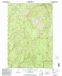
1995 Map of Iron Mountain
USGS Topo · Published 1999About this map
Iron Mountain and the high ridges of the Nez Perce National Forest dominate this Idaho County landscape, reflecting a history of resource extraction and high-altitude livestock management. The presence of the Iron Crown Mine and significant Dredge Tailings near Big Elk Creek point to a legacy of mineral exploration and industrial change within the drainage systems. These features, along with names like Nugget Point and Nugget Creek, suggest the era of prospecting that shaped this part of the Clearwater Mountains.
Find a feature on this map
45 named features on this map. Tap any name to fly to it.
Don’t see what you’re looking for? This feature index may not catch every label — zoom into the map to look around manually.
Map Details
Editions of this 1995 Iron Mountain Map
This is the sole edition of this map. No revisions or reprints were ever made.
Other maps of this area

1911 · Lolo
USGS Topo · 1:250,000

1913 · Lolo
USGS Topo · 1:250,000

1924 · Weippe
USGS Topo · 1:125,000

1931 · Buffalo Hump
USGS Topo · 1:125,000

1934 · Buffalo Hump
USGS Topo · 1:125,000

1956 · Elk City
USGS Topo · 1:250,000

1956 · Hamilton
USGS Topo · 1:250,000

1959 · Hamilton
USGS Topo · 1:250,000

1960 · Elk City
USGS Topo · 1:250,000

1960 · Hamilton
USGS Topo · 1:250,000