2020s Maps of Elk City, Idaho
Explore 8 historic maps of Elk City from the 2020s. These maps offer a rare glimpse into what life looked like during the 2020s — showing old roads, neighborhoods, homes, and landmarks that have changed or disappeared over time.
Whether you're researching your family's past, planning a metal detecting trip, or studying how Elk City's landscape evolved across the 2020s, these high-resolution maps are a powerful tool for exploring the history of this region.
- Focus on a specific era: All maps on this page are from the 2020s, giving you a focused view of this time period.
- See what’s changed: Compare century-old streets, trails, and buildings to today's modern landscape using overlays and satellite layers.
- Research with precision: Use these maps for genealogy, historical research, land use analysis, or educational projects.
- View, download, or print: Maps are fully viewable online in high resolution, and can be downloaded or printed for your own records.
Start exploring Elk City's history through authentic maps from the 2020s. This is your window into the past.
Elk City, ID maps
(8)- 2020 Map of Iron Mountain, 2020 Print
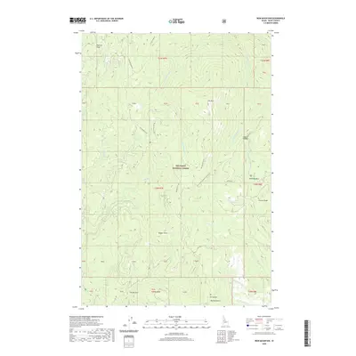 2020 Iron Mountain2020 Print · USGSCovers Elk City, including Idaho County, United States, and other nearby areas
 - 2020 Map of Center Star Mountain, 2020 Print
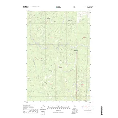 2020 Center Star Mountain2020 Print · USGSCovers Elk City, including Idaho County, United States, and other nearby areas
 - 2020 Map of Lick Point, 2020 Print
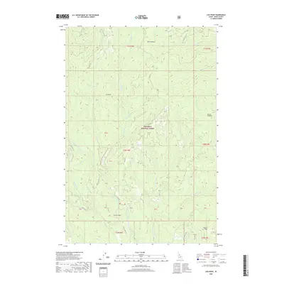 2020 Lick Point2020 Print · USGSCovers Elk City, including Idaho County, United States, and other nearby areas
 - 2020 Map of Elk City, 2020 Print
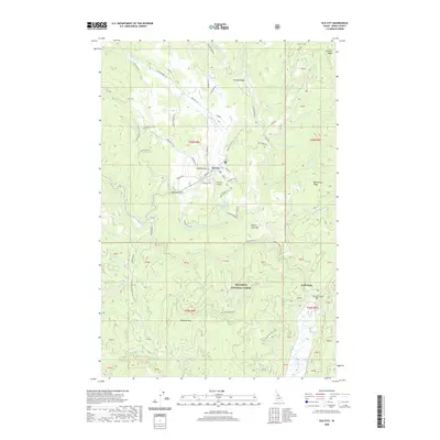 2020 Elk City2020 Print · USGSCovers Elk City, including Idaho County, United States, and other nearby areas
 - 2024 Map of Lick Point, 2024 Print
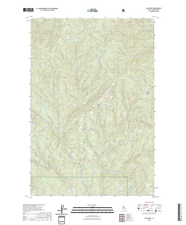 2024 Lick Point2024 Print · USGSIdaho County’s wilderness within the Nez Perce National Forest is mapped here in the modern era, showing a landscape defined by river forks and high ridges. Researchers can trace the courses of the American River and find named landmarks like Lick Point and Buck Meadows.
 - 2024 Map of Elk City, 2024 Print
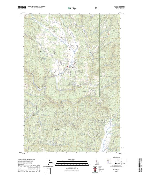 2024 Elk City2024 Print · USGSElk City and its surrounding timberlands are captured here in the mid-2020s, showing a mountain community deeply integrated with the Nez Perce National Forest. Researchers can trace the drainages of the American River and Red River or locate landmarks like Gold Point and Sweeny Hill.
 - 2024 Map of Center Star Mountain, 2024 Print
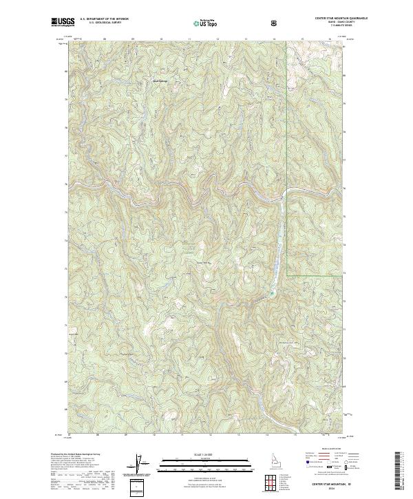 2024 Center Star Mountain2024 Print · USGSThe Nez Perce National Forest interior is shown here in the mid-2020s at the confluence of the South Fork Clearwater River and the Crooked River. Researchers can trace old mining and forest routes like Old Golden Rd, Haystack Mine Rd, and the remote settlement at Mud Springs.
 - 2024 Map of Iron Mountain, 2024 Print
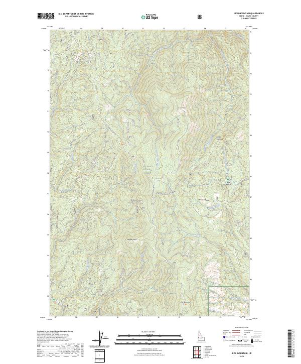 2024 Iron Mountain2024 Print · USGSDeep in the Idaho wilderness during the 2020s, this survey shows the high ridges of the Nez Perce National Forest. Trace backcountry routes via Iron Mountain Rd to remote spots like Table Meadows and O'Hara Saddle.
End of results
Showing maps 1-8 of 8
Frequently asked questions
- What are the different types of historical maps available for Elk City?
- What is the oldest map of Elk City?
- Where can I purchase historical maps of Elk City for my home or office?
- Where can I download high-res historical maps of Elk City?
- Are there historical topographic maps available for Elk City?
- Is there historical aerial imagery available for Elk City?
- Where are historical maps of Elk City sourced from?