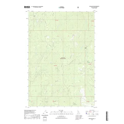
2020 Map of Iron Mountain
USGS Topo · Published 2020About this map
Nez Perce National Forest encompasses this high-elevation landscape, where the drainage systems of the W Fork American River and Big Elk Cr define the movement of water through Idaho County. The terrain is structured by prominent divides such as Radcliff Ridge and Ericson Ridge, with the peaks of Iron Mtn and Nugget Point serving as local landmarks. This area is characterized by a network of forest development roads, including the Iron Mountain Rd and O'Hara Point Rd, which trace the ridges and valley floors used by generations of outdoor travelers and forest workers.
Find a feature on this map
36 named features on this map. Tap any name to fly to it.
Don’t see what you’re looking for? This feature index may not catch every label — zoom into the map to look around manually.
Map Details
Editions of this 2020 Iron Mountain Map
This is the sole edition of this map. No revisions or reprints were ever made.
Other maps of this area

1911 · Lolo
USGS Topo · 1:250,000

1913 · Lolo
USGS Topo · 1:250,000

1924 · Weippe
USGS Topo · 1:125,000

1931 · Buffalo Hump
USGS Topo · 1:125,000

1934 · Buffalo Hump
USGS Topo · 1:125,000

1956 · Elk City
USGS Topo · 1:250,000

1956 · Hamilton
USGS Topo · 1:250,000

1959 · Hamilton
USGS Topo · 1:250,000

1960 · Elk City
USGS Topo · 1:250,000

1960 · Hamilton
USGS Topo · 1:250,000