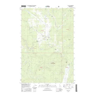
2017 Map of Elk City
USGS Topo · Published 2017About this map
Elk City serves as the central hub of this mountain landscape, situated at the confluence of several vital waterways including the American River and Elk Cr. The settlement is surrounded by the vast Nez Perce National Forest, where the terrain is defined by prominent peaks and ridges such as Mother Lode Hill, Wheeler Mtn, and Gold Point. The names of the landscape reveal the area's prospecting legacy, seen in features like French Gulch and Buffalo Gulch. Local transportation is anchored by the Elk City Airport and a network of Forest Service roads including Red River Rd and American River Rd. These routes provide access to remote areas like American Hill Lake and the various forks of the Red River, illustrating the intersection of recreation and industry in this remote corner of Idaho County.
Find a feature on this map
76 named features on this map. Tap any name to fly to it.
Don’t see what you’re looking for? This feature index may not catch every label — zoom into the map to look around manually.
Map Details
Editions of this 2017 Elk City Map
This is the sole edition of this map. No revisions or reprints were ever made.
Other maps of this area

1931 · Buffalo Hump
USGS Topo · 1:125,000

1934 · Buffalo Hump
USGS Topo · 1:125,000

1956 · Elk City
USGS Topo · 1:250,000

1960 · Elk City
USGS Topo · 1:250,000

1962 · Center Star Mtn
USGS Topo · 1:24,000

1962 · Iron Mtn
USGS Topo · 1:24,000

1966 · Elk City
USGS Topo · 1:24,000

1966 · Black Hawk Mtn
USGS Topo · 1:24,000

1966 · Lick Point
USGS Topo · 1:24,000

1966 · Anderson Butte
USGS Topo · 1:24,000