
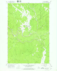
1966 Map of Elk City
USGS Topo · Published 1968About this map
Elk City serves as the focal point of this mid-1960s survey, surrounded by the extensive gold-mining heritage of the Nez Perce National Forest. The landscape is heavily marked by industrial activity, most notably the wide swathes of Dredge Tailings following the American River and Elk Creek. Mining history is further anchored by named operations such as the Sultan Shaft, Alamance Mine, and Buster Mine located just north of the settlement.
Find a feature on this map
52 named features on this map. Tap any name to fly to it.
Don’t see what you’re looking for? This feature index may not catch every label — zoom into the map to look around manually.
Map Details
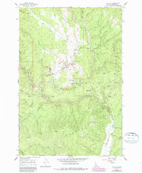
Editions of this 1966 Elk City Map
3 editions found
Other maps of this area

1931 · Buffalo Hump
USGS Topo · 1:125,000

1934 · Buffalo Hump
USGS Topo · 1:125,000

1956 · Elk City
USGS Topo · 1:250,000

1960 · Elk City
USGS Topo · 1:250,000

1962 · Center Star Mtn
USGS Topo · 1:24,000

1962 · Iron Mtn
USGS Topo · 1:24,000

1966 · Black Hawk Mtn
USGS Topo · 1:24,000

1966 · Lick Point
USGS Topo · 1:24,000

1966 · Anderson Butte
USGS Topo · 1:24,000

1978 · Moose Butte
USGS Topo · 1:24,000