
1962 Map of Iron Mtn
USGS Topo · Published 1964About this map
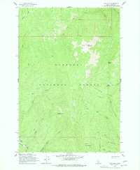
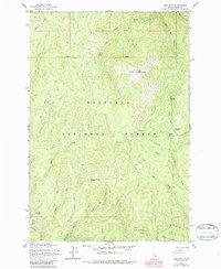
Iron Mountain towers over a landscape defined by deep creek drainages and high ridgelines within the Nez Perce National Forest. The map reflects a mid-century wilderness managed for both natural resources and recreation, featuring the Elk Summit Lookout and a network of trails crossing Ericson Ridge and Radcliff Ridge. A significant marker of past industrial activity appears along the southern edge, where Dredge Tailings follow the path of the American River, documenting the physical impact of mining operations on the waterway's character.
Find a feature on this map
26 named features on this map. Tap any name to fly to it.
Don’t see what you’re looking for? This feature index may not catch every label — zoom into the map to look around manually.
Map Details
Editions of this 1962 Iron Mtn Map
3 editions found
Other maps of this area

1911 · Lolo
USGS Topo · 1:250,000

1913 · Lolo
USGS Topo · 1:250,000

1924 · Weippe
USGS Topo · 1:125,000

1931 · Buffalo Hump
USGS Topo · 1:125,000

1934 · Buffalo Hump
USGS Topo · 1:125,000

1956 · Elk City
USGS Topo · 1:250,000

1956 · Hamilton
USGS Topo · 1:250,000

1959 · Hamilton
USGS Topo · 1:250,000

1960 · Elk City
USGS Topo · 1:250,000

1960 · Hamilton
USGS Topo · 1:250,000