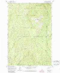
1962 Map of Iron Mountain
USGS Topo · Published 1987About this map
Iron Mountain dominates this portion of the Nez Perce National Forest in central Idaho. The landscape is a complex system of drainage and ridges, with the O'Hara Creek headwaters flowing north and Elk Creek moving toward the southeast. Evidence of historical resource extraction is visible in the southwestern corner near the American River, where Dredge Tailings mark previous mining operations along the watercourse.
Find a feature on this map
30 named features on this map. Tap any name to fly to it.
Don’t see what you’re looking for? This feature index may not catch every label — zoom into the map to look around manually.
Map Details
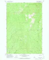
Editions of this 1962 Iron Mountain Map
3 editions found

Other maps of this area

1911 · Lolo
USGS Topo · 1:250,000

1913 · Lolo
USGS Topo · 1:250,000

1924 · Weippe
USGS Topo · 1:125,000

1931 · Buffalo Hump
USGS Topo · 1:125,000

1934 · Buffalo Hump
USGS Topo · 1:125,000

1956 · Elk City
USGS Topo · 1:250,000

1956 · Hamilton
USGS Topo · 1:250,000

1959 · Hamilton
USGS Topo · 1:250,000

1960 · Elk City
USGS Topo · 1:250,000

1960 · Hamilton
USGS Topo · 1:250,000