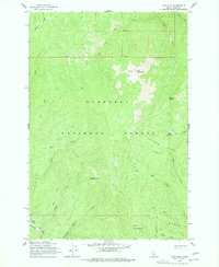
1962 Map of Iron Mtn
USGS Topo · Published 1977About this map
Iron Mountain towers over a complex network of drainages within the Nez Perce National Forest, where high ridges such as Radcliff Ridge and Ericson Ridge separate deep creek valleys. This 1962 field-checked survey reveals the area's transition from early industrial activity to modern forest management. Evidence of historic resource extraction is visible in the southwest, where Dredge Tailings along the American River indicate past mining operations. The Elk City Stage Road follows the riverbank, marking a legacy transportation route through the backcountry. Higher elevations are dotted with landmarks of early fire detection and navigation, including the Elk Summit Lookout and named geographic features like Nugget Point and O'Hara Saddle. The map documents a system of trails weaving through places like Table Meadows, used by foresters and hunters long before the expansion of modern road networks.
Find a feature on this map
27 named features on this map. Tap any name to fly to it.
Don’t see what you’re looking for? This feature index may not catch every label — zoom into the map to look around manually.
Map Details
Editions of this 1962 Iron Mtn Map
3 editions found

Other maps of this area

1911 · Lolo
USGS Topo · 1:250,000

1913 · Lolo
USGS Topo · 1:250,000

1924 · Weippe
USGS Topo · 1:125,000

1931 · Buffalo Hump
USGS Topo · 1:125,000

1934 · Buffalo Hump
USGS Topo · 1:125,000

1956 · Elk City
USGS Topo · 1:250,000

1956 · Hamilton
USGS Topo · 1:250,000

1959 · Hamilton
USGS Topo · 1:250,000

1960 · Elk City
USGS Topo · 1:250,000

1960 · Hamilton
USGS Topo · 1:250,000