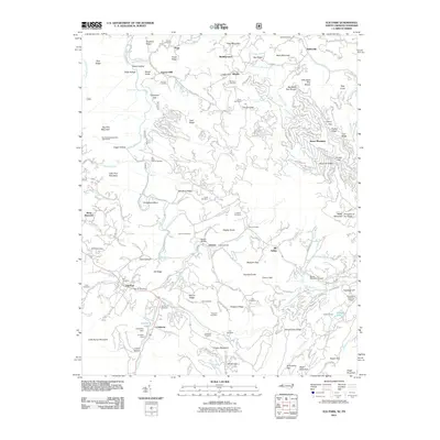
2011 Map of Elk Park
USGS Topo · Published 2011About this map
Cranberry Mines and the surrounding mountain landscape define this high-altitude border region where North Carolina meets Tennessee. The industrial heritage of the area is centered around the Cranberry settlement, featuring the Cranberry Dam and Cranberry Lake. Significant genealogical value is found in the dense network of family burial grounds, including the Holtsclaw Cemetery, Pritchard Cemetery, and Laws Cemetery.
Find a feature on this map
179 named features on this map. Tap any name to fly to it.
Don’t see what you’re looking for? This feature index may not catch every label — zoom into the map to look around manually.
Map Details
Editions of this 2011 Elk Park Map
This is the sole edition of this map. No revisions or reprints were ever made.
Other maps of this area

1891 · Roan Mountain
USGS Topo · 1:125,000

1893 · Cranberry
USGS Topo · 1:125,000

1894 · Roan Mountain
USGS Topo · 1:125,000

1895 · Cranberry
USGS Topo · 1:125,000

1899 · Cranberry
USGS Topo · 1:125,000

1902 · Cranberry
USGS Topo · 1:125,000

1904 · Roan Mountain
USGS Topo · 1:125,000

1934 · Valle Crucis
USGS Topo · 1:24,000

1934 · White Rocks Mtn
USGS Topo · 1:24,000

1934 · Elk Park
USGS Topo · 1:24,000