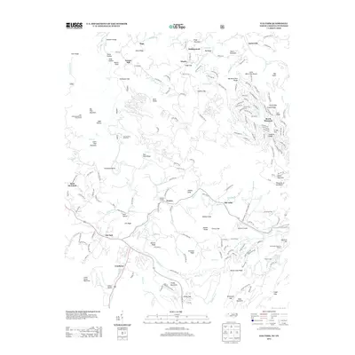
2013 Map of Elk Park
USGS Topo · Published 2013About this map
Cranberry and Elk Park anchor this high-elevation landscape along the North Carolina and Tennessee border, where the headwaters of the Elk River carve through the Blue Ridge. The map documents a transition from the industrial legacy of the iron-rich Cranberry district to a region defined by outdoor recreation and institutional landmarks. Notable features include the Don Nelan Appalachian Trail Shelter and several significant waterfalls such as Twisting Falls and Big Falls. Near Heaton, the valley opens enough to support the Elk River Airport, while higher slopes like Beech Mountain are densely marked with modern residential road networks including Sassafras Rd and Raccoon Rd. Long-standing local institutions such as the Grandfather Home for Children and Holston Camp appear near Wildcat Lake, illustrating the area's development as a center for summer camps and youth services.
Find a feature on this map
214 named features on this map. Tap any name to fly to it.
Don’t see what you’re looking for? This feature index may not catch every label — zoom into the map to look around manually.
Map Details
Editions of this 2013 Elk Park Map
This is the sole edition of this map. No revisions or reprints were ever made.
Other maps of this area

1891 · Roan Mountain
USGS Topo · 1:125,000

1893 · Cranberry
USGS Topo · 1:125,000

1894 · Roan Mountain
USGS Topo · 1:125,000

1895 · Cranberry
USGS Topo · 1:125,000

1899 · Cranberry
USGS Topo · 1:125,000

1902 · Cranberry
USGS Topo · 1:125,000

1904 · Roan Mountain
USGS Topo · 1:125,000

1934 · Valle Crucis
USGS Topo · 1:24,000

1934 · White Rocks Mtn
USGS Topo · 1:24,000

1934 · Elk Park
USGS Topo · 1:24,000