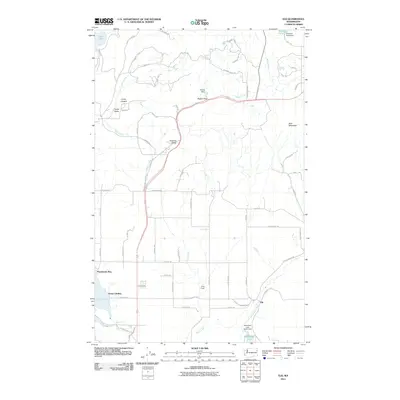
2011 Map of Elk
USGS Topo · Published 2011About this map
The Little Spokane River winds through this northern Spokane County landscape, anchored by the community of Elk. In the early 21st century, the area is characterized by a mix of residential landings and recreation camps, notably Grays Landing and Pocahontas Bay on the eastern shore of Eloika Lake. To the north, the terrain rises toward Bare Mountain and Rogers Pass, where infrastructure like the Koenig Dam and Williams Pond Dam manage the local hydrology. This survey captures the rural residential development along corridors like Fertile Valley Rd and Old State Rd, showing how the land transitioned from wilderness to a settled corridor between Shadow Valley and the various youth or recreational outposts like Camp Joubert and Camp Hager.
Find a feature on this map
68 named features on this map. Tap any name to fly to it.
Don’t see what you’re looking for? This feature index may not catch every label — zoom into the map to look around manually.
Map Details
Editions of this 2011 Elk Map
This is the sole edition of this map. No revisions or reprints were ever made.
Other maps of this area

1901 · Spokane
USGS Topo · 1:125,000

1936 · Newport
USGS Topo · 1:96,000

1942 · Newport
USGS Topo · 1:125,000

1943 · Mt Spokane
USGS Topo · 1:62,500

1949 · Deer Park
USGS Topo · 1:62,500

1950 · Mt Spokane
USGS Topo · 1:62,500

1951 · Deer Park
USGS Topo · 1:62,500

1955 · Spokane
USGS Topo · 1:250,000

1958 · Spokane
USGS Topo · 1:250,000

1958 · Sandpoint
USGS Topo · 1:250,000