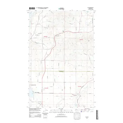
2014 Map of Elk
USGS Topo · Published 2014About this map
The Little Spokane River and its various tributaries, including Otter Cr and Moon Cr, define the drainage and settlement patterns along the county line between Pend Oreille and Spokane. The community of Elk sits near the river's southern bend, while the western edge of the map is dominated by the shoreline of Eloika Lake, featuring landings such as Grays Landing and Pocahontas Bay.
Find a feature on this map
73 named features on this map. Tap any name to fly to it.
Don’t see what you’re looking for? This feature index may not catch every label — zoom into the map to look around manually.
Map Details
Editions of this 2014 Elk Map
This is the sole edition of this map. No revisions or reprints were ever made.
Other maps of this area

1901 · Spokane
USGS Topo · 1:125,000

1936 · Newport
USGS Topo · 1:96,000

1942 · Newport
USGS Topo · 1:125,000

1943 · Mt Spokane
USGS Topo · 1:62,500

1949 · Deer Park
USGS Topo · 1:62,500

1950 · Mt Spokane
USGS Topo · 1:62,500

1951 · Deer Park
USGS Topo · 1:62,500

1955 · Spokane
USGS Topo · 1:250,000

1958 · Spokane
USGS Topo · 1:250,000

1958 · Sandpoint
USGS Topo · 1:250,000