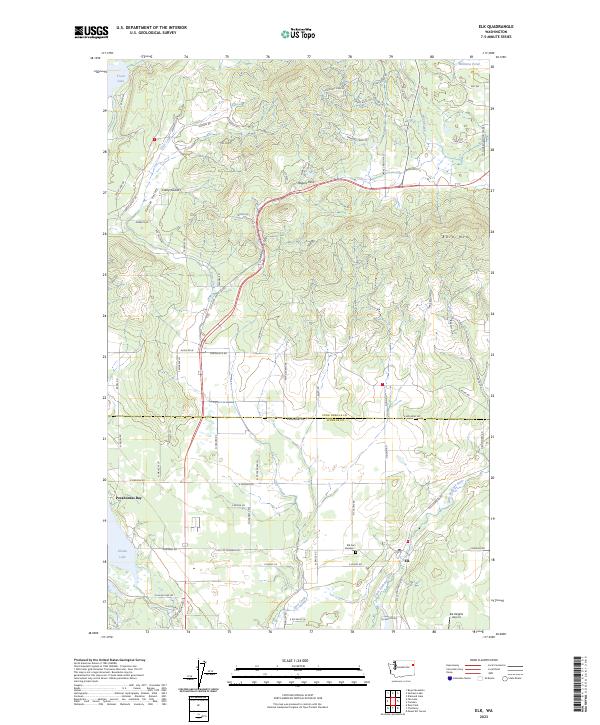
2023 Map of Elk
USGS Topo · Published 2023About this map
Elk serves as the primary settlement center where the Little Spokane River meets the valley floor near the southern boundary of Pend Oreille County. This 2023 survey documents a landscape defined by its namesake drainage and the surrounding ridges, including Bare Mtn and the transition through Rogers Pass. To the west, Eloika Lake and its residential developments at Pocahontas Bay contrast with the higher-elevation timberlands of Shadow Valley and Fertile Valley. For genealogists and local historians, the inclusion of Elk Cem Number 1 and smaller landmarks like Camp Joubert provide specific points of interest within the broader rural framework. The mapping of infrastructure like the Elk Heights Airport and the complex network of local connectors such as Old State Hwy 2-TPS Rd reflects the modern accessibility of this historically agrarian and timber-oriented region.
Find a feature on this map
85 named features on this map. Tap any name to fly to it.
Don’t see what you’re looking for? This feature index may not catch every label — zoom into the map to look around manually.
Map Details
Editions of this 2023 Elk Map
This is the sole edition of this map. No revisions or reprints were ever made.
Other maps of this area

1901 · Spokane
USGS Topo · 1:125,000

1936 · Newport
USGS Topo · 1:96,000

1942 · Newport
USGS Topo · 1:125,000

1943 · Mt Spokane
USGS Topo · 1:62,500

1949 · Deer Park
USGS Topo · 1:62,500

1950 · Mt Spokane
USGS Topo · 1:62,500

1951 · Deer Park
USGS Topo · 1:62,500

1955 · Spokane
USGS Topo · 1:250,000

1958 · Spokane
USGS Topo · 1:250,000

1958 · Sandpoint
USGS Topo · 1:250,000