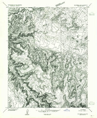
1954 Map of Elk Ridge 2 NW
USGS Topo · Published 1954About this map
Beef Basin serves as the central focal point of this 1954 preliminary survey, where the convergence of deep drainage systems and high desert plateaus reveals a complex history of human habitation. The map identifies several archaeological sites, specifically noting Cliff Dwellings and various Ruins tucked into the protective alcoves of the canyon walls. These features provide a grounded record of the ancestral Puebloan presence in the region long before modern cartography.
Find a feature on this map
10 named features on this map. Tap any name to fly to it.
Don’t see what you’re looking for? This feature index may not catch every label — zoom into the map to look around manually.
Map Details
Editions of this 1954 Elk Ridge 2 NW Map
This is the sole edition of this map. No revisions or reprints were ever made.
Other maps of this area

1885 · San Rafael
USGS Topo · 1:250,000

1885 · La Sal
USGS Topo · 1:250,000

1886 · Henry Mountains
USGS Topo · 1:250,000

1886 · Abajo
USGS Topo · 1:250,000

1892 · Abajo
USGS Topo · 1:250,000

1892 · Henry Mountains
USGS Topo · 1:250,000

1893 · Abajo
USGS Topo · 1:250,000

1935 · Elk Ridge
USGS Topo · 1:96,000

1940 · Elk Ridge
USGS Topo · 1:125,000

1952 · Mouth of Dark Canyon
USGS Topo · 1:62,500