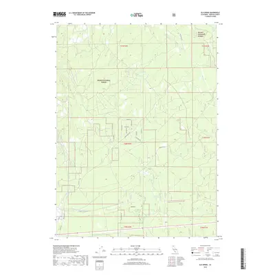
2018 Map of Elk Spring
USGS Topo · Published 2018About this map
Shasta National Forest dominates this northern California landscape, where the volcanic geography south of Mount Shasta is defined by complex drainage patterns and scattered water sources. The map reveals a network of mountain springs, including Widow Spring, Elk Spring, and Esperanza Spring, which serve as vital points in an otherwise arid timberland. These features, along with Red Hill, suggest the region's rugged elevation and its importance for forest management and local hydrology. A system of forest roads such as Military Pass Rd and Forest Rte 13 crisscrosses the township and range lines, providing access through the drainages of Mud Cr and Pilgrim Cr. The layout of the roads, including residential-style naming like Crater Way and Widow Springs Dr, indicates pockets of specialized land use or small settlements within the protected forest boundaries.
Find a feature on this map
25 named features on this map. Tap any name to fly to it.
Don’t see what you’re looking for? This feature index may not catch every label — zoom into the map to look around manually.
Map Details
Editions of this 2018 Elk Spring Map
This is the sole edition of this map. No revisions or reprints were ever made.
Other maps of this area
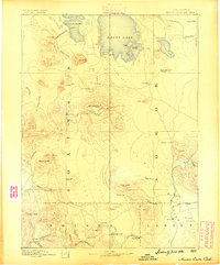
1886 · Modoc Lava Bed
USGS Topo · 1:250,000
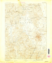
1886 · Shasta
USGS Topo · 1:250,000
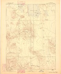
1892 · Modoc Lava-Bed
USGS Topo · 1:250,000
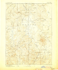
1894 · Shasta
USGS Topo · 1:250,000
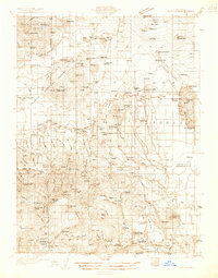
1932 · Bartle
USGS Topo · 1:96,000
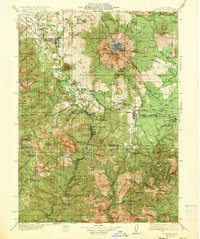
1935 · Dunsmuir
USGS Topo · 1:125,000
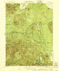
1939 · Bartle
USGS Topo · 1:125,000
1948 · Weed
USGS Topo · 1:250,000
1950 · Weed
USGS Topo · 1:250,000
1954 · Shoeinhorse Mountain
USGS Topo · 1:62,500