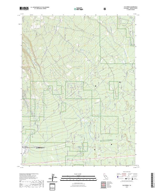
2023 Map of Elk Spring
USGS Topo · Published 2023About this map
McCloud anchors the southwestern edge of this landscape, where the town's industrial footprint is defined by routes such as Mill Rd and Haul Rd. The terrain is shaped by the volcanic influence of the nearby peaks, with the drainage of Mud Creek and Pilgrim Creek cutting through the Shasta National Forest. A notable concentration of spring-fed water sources, including Elk Spring, Widow Spring, and Esperanza Spring, highlights the critical hydrology of this timbered region. High-elevation access is traced through historical corridors like Military Pass Rd and the Military Trl, which skirt the protected boundaries of the Mount Shasta Wilderness. This map captures a modern snapshot of the area's transition from active logging infrastructure to forest management and wilderness preservation, centered around features like Red Hill.
Find a feature on this map
35 named features on this map. Tap any name to fly to it.
Don’t see what you’re looking for? This feature index may not catch every label — zoom into the map to look around manually.
Map Details
Editions of this 2023 Elk Spring Map
This is the sole edition of this map. No revisions or reprints were ever made.
Other maps of this area

1886 · Modoc Lava Bed
USGS Topo · 1:250,000

1886 · Shasta
USGS Topo · 1:250,000

1892 · Modoc Lava-Bed
USGS Topo · 1:250,000

1894 · Shasta
USGS Topo · 1:250,000

1932 · Bartle
USGS Topo · 1:96,000

1935 · Dunsmuir
USGS Topo · 1:125,000

1939 · Bartle
USGS Topo · 1:125,000

1948 · Weed
USGS Topo · 1:250,000

1950 · Weed
USGS Topo · 1:250,000

1954 · Shoeinhorse Mountain
USGS Topo · 1:62,500