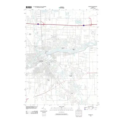
2010 Map of Elkhart
USGS Topo · Published 2010About this map
The Saint Joseph River and the Elkhart River converge in the heart of Elkhart, defining the city’s industrial and recreational layout in this 2010 survey. The Elkhart Hydro Dam stands as a primary landmark where these waters meet, marking a legacy of river-driven power. North of the city, residential growth extends toward Simonton Lake and Heaton Lake, while the outlying areas include established communities such as Dunlap and Garden Village. For those researching local families, the map clearly identifies several significant burial grounds, including Rice Cemetery, Grace Lawn Cemetery, and Prairie Street Cemetery. The landscape also shows the functional infrastructure of the era, from the Elkhart Municipal Airport in the west to the network of township ditches, such as the Osolo Township Ditch, that manage the region's drainage.
Find a feature on this map
57 named features on this map. Tap any name to fly to it.
Don’t see what you’re looking for? This feature index may not catch every label — zoom into the map to look around manually.
Map Details
Editions of this 2010 Elkhart Map
This is the sole edition of this map. No revisions or reprints were ever made.
Other maps of this area

1945 · Cassopolis
USGS Topo · 1:62,500

1947 · Cassopolis
USGS Topo · 1:62,500

1948 · Vandalia
USGS Topo · 1:62,500

1949 · Vandalia
USGS Topo · 1:62,500

1953 · Fort Wayne
USGS Topo · 1:250,000

1953 · Chicago
USGS Topo · 1:250,000

1956 · Fort Wayne
USGS Topo · 1:250,000

1957 · Chicago
USGS Topo · 1:250,000

1958 · Osceola
USGS Topo · 1:24,000

1959 · Goshen
USGS Topo · 1:24,000