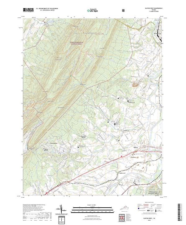
2022 Map of Elkton West
USGS Topo · Published 2022About this map
Massanutten Mountain dominates the western half of this Rockingham County landscape, where numerous ridges and peaks like Grubbs Knob and Hartman Knob rise above the Page Valley. The eastern portion of the map follows the winding course of the South Fork Shenandoah River, featuring Shuler Island and the transition into Shenandoah National Park. The settlement pattern follows the fertile corridor between the mountains and the river, anchored by Elkton and Shenandoah. Local history is preserved in a dense network of family and church burial sites, including the Arrey Fridley Family Cem in the north and the Yancey Family Cem near the river. This region illustrates the concentrated rural development common in the Shenandoah Valley, where small communities like East Point and Greenwood emerged at the foot of mountain gaps like Runkles Gap.
Find a feature on this map
160 named features on this map. Tap any name to fly to it.
Don’t see what you’re looking for? This feature index may not catch every label — zoom into the map to look around manually.
Map Details
Editions of this 2022 Elkton West Map
This is the sole edition of this map. No revisions or reprints were ever made.
Other maps of this area

1892 · Woodstock
USGS Topo · 1:125,000

1892 · Harrisonburg
USGS Topo · 1:125,000

1937 · Elkton
USGS Topo · 1:62,500

1941 · Harrisonburg
USGS Topo · 1:62,500

1942 · Mt Jackson
USGS Topo · 1:62,500

1943 · Harrisonburg
USGS Topo · 1:62,500

1946 · Mt Jackson
USGS Topo · 1:62,500

1947 · Mt Jackson
USGS Topo · 1:62,500

1947 · Broadway
USGS Topo · 1:62,500

1949 · Charlottesville
USGS Topo · 1:250,000