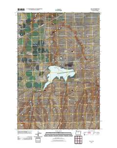
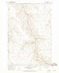
2011 Map of Ella
USGS Topo · Published 2011About this map
Ella occupies a central position in this Morrow County landscape, where the dry terrain of the Columbia Plateau is defined by deep drainages and volcanic rises. The geography is dominated by Fourmile Canyon and the elevated reach of Poverty Ridge, showing a rural environment shaped by intermittent water and agricultural transport. The infrastructure includes Saddle Dam, an essential component for water management in this arid region. Traces of the area's transit history are visible in the naming of Immigrant Ln, while modern agricultural access is maintained via Tower Rd and Taggares Ln. Local landmarks like Squaw Butte provide distinctive navigational points amidst the repeating grid of the high desert plateau.
Find a feature on this map
9 named features on this map. Tap any name to fly to it.
Don’t see what you’re looking for? This feature index may not catch every label — zoom into the map to look around manually.
Map Details
Editions of this 2011 Ella Map
This is the sole edition of this map. No revisions or reprints were ever made.
Other maps of this area
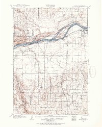
1906 · Blalock Island
USGS Topo · 1:125,000
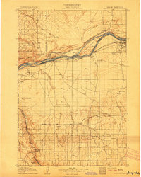
1908 · Blalock Island
USGS Topo · 1:125,000

1953 · Pendleton
USGS Topo · 1:250,000

1956 · Pendleton
USGS Topo · 1:250,000
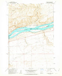
1962 · Alderdale
USGS Topo · 1:24,000
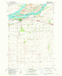
1962 · Boardman
USGS Topo · 1:24,000
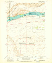
1962 · Crow Butte
USGS Topo · 1:24,000
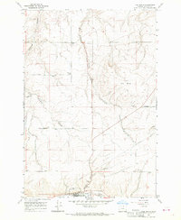
1968 · Ione North
USGS Topo · 1:24,000
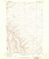
1968 · Dalreed Butte
USGS Topo · 1:24,000
1968 · Cecil
USGS Topo · 1:24,000