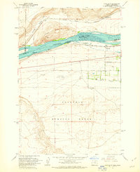
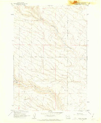
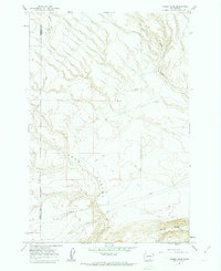
1962 Map of Crow Butte
USGS Topo · Published 1963About this map
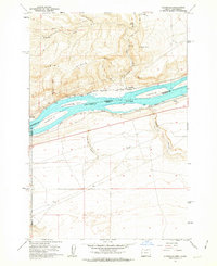
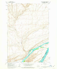
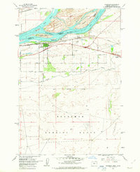
The Columbia River serves as the focal point of this early 1960s survey, marking the jurisdictional divide between Washington and Oregon. On the northern bank, the Spokane Portland and Seattle railroad tracks follow the river's curve past Canoe Ridge and the settlement of Whitecomb. Across the water in Oregon, the Union Pacific rail line mirrors this transport corridor, connecting riverside locales like Castle Rock and Toms Camp.
Find a feature on this map
30 named features on this map. Tap any name to fly to it.
Don’t see what you’re looking for? This feature index may not catch every label — zoom into the map to look around manually.
Map Details
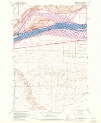
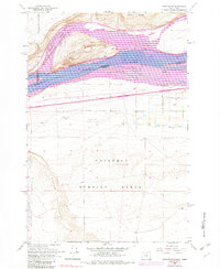
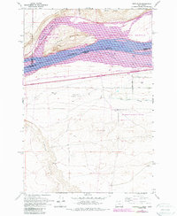
Editions of this 1962 Crow Butte Map
4 editions found
Other maps of this area

1906 · Blalock Island
USGS Topo · 1:125,000

1908 · Blalock Island
USGS Topo · 1:125,000

1953 · Pendleton
USGS Topo · 1:250,000

1956 · Pendleton
USGS Topo · 1:250,000
1962 · Phinny Hill
USGS Topo · 1:24,000
1962 · Canoe Ridge
USGS Topo · 1:24,000
1962 · Alderdale
USGS Topo · 1:24,000
1962 · Blalock Island
USGS Topo · 1:24,000
1962 · Boardman
USGS Topo · 1:24,000
1968 · Dalreed Butte
USGS Topo · 1:24,000