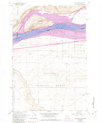
1962 Map of Crow Butte
USGS Topo · Published 1982About this map
The Columbia River serves as the focal point of this mid-century survey, dividing the landscape into the water-rich Lake Umatilla and the arid upland plateaus of southern Washington and northern Oregon. Dominating the riverbed is the prominent landform of Crow Butte, while the northern shore is marked by the industrial activity of Burlington Northern rail lines and the small station at Whitcomb. The southern shore in Morrow County, Oregon, reflects a shift in land use, moving from the transportation corridors of the Union Pacific and Pacific highway to large-scale military and agricultural developments.
Find a feature on this map
26 named features on this map. Tap any name to fly to it.
Don’t see what you’re looking for? This feature index may not catch every label — zoom into the map to look around manually.
Map Details
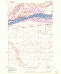
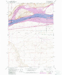
Editions of this 1962 Crow Butte Map
4 editions found
Other maps of this area

1906 · Blalock Island
USGS Topo · 1:125,000

1908 · Blalock Island
USGS Topo · 1:125,000

1953 · Pendleton
USGS Topo · 1:250,000

1956 · Pendleton
USGS Topo · 1:250,000
1962 · Phinny Hill
USGS Topo · 1:24,000

1962 · Canoe Ridge
USGS Topo · 1:24,000

1962 · Alderdale
USGS Topo · 1:24,000

1962 · Blalock Island
USGS Topo · 1:24,000

1962 · Boardman
USGS Topo · 1:24,000

1962 · Crow Butte
USGS Topo · 1:24,000