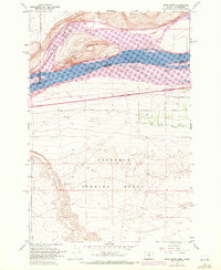
1962 Map of Crow Butte
USGS Topo · Published 1972About this map
Lake Umatilla Columbia River dominates this stretch of the border between Oregon and Washington, where the massive Crow Butte stands as a prominent landmark in the waterway. The 1962 topography, updated with 1970 photogrammetric revisions, reveals a landscape defined by large-scale infrastructure and military utility. South of the river and the Union Pacific rail lines, the sprawling Boardman Bombing Range and the Boardman Flight Strip occupy the high desert plateau, signifying the mid-century strategic importance of this region. Agriculture is visible through the West Extension Irrigation Canal and local landmarks like the Ed Kunze Road. On the northern shore, the Burlington Northern railroad passes through the small settlement of Whitcomb beneath the heights of Canoe Ridge, while the rugged southern terrain is carved by the deep drainage of Sixmile Canyon.
Find a feature on this map
24 named features on this map. Tap any name to fly to it.
Don’t see what you’re looking for? This feature index may not catch every label — zoom into the map to look around manually.
Map Details
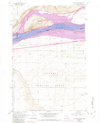
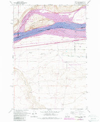
Editions of this 1962 Crow Butte Map
4 editions found
Other maps of this area

1906 · Blalock Island
USGS Topo · 1:125,000

1908 · Blalock Island
USGS Topo · 1:125,000

1953 · Pendleton
USGS Topo · 1:250,000

1956 · Pendleton
USGS Topo · 1:250,000
1962 · Phinny Hill
USGS Topo · 1:24,000

1962 · Canoe Ridge
USGS Topo · 1:24,000

1962 · Alderdale
USGS Topo · 1:24,000

1962 · Blalock Island
USGS Topo · 1:24,000

1962 · Boardman
USGS Topo · 1:24,000

1962 · Crow Butte
USGS Topo · 1:24,000