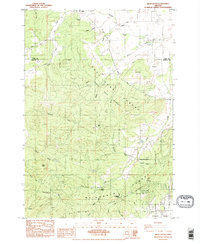
1984 Map of Airlie South
USGS Topo · Published 1984About this map
Paul Dunn State Forest and McDonald State Forest dominate this mid-1980s landscape, illustrating the significant presence of Oregon State University research lands in the Coast Range foothills. The terrain is defined by prominent elevations such as Forest Peak and Vineyard Mtn, while several quarries throughout the area indicate active resource extraction during this period. The small settlement of Airlie sits at the northern edge, near the Williams Cem, providing a focal point for genealogical research in this part of Polk and Benton Counties.
Find a feature on this map
34 named features on this map. Tap any name to fly to it.
Don’t see what you’re looking for? This feature index may not catch every label — zoom into the map to look around manually.
Map Details
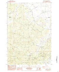
Editions of this 1984 Airlie South Map
2 editions found
Other maps of this area

1913 · Philomath
USGS Topo · 1:31,680

1913 · Oakville
USGS Topo · 1:31,680

1913 · Wells
USGS Topo · 1:31,680

1914 · Independence
USGS Topo · 1:31,680

1914 · Soap Creek
USGS Topo · 1:31,680

1916 · Albany
USGS Topo · 1:62,500

1917 · Salem
USGS Topo · 1:62,500

1921 · Corvallis
USGS Topo · 1:62,500

1922 · Airlie
USGS Topo · 1:31,680

1940 · Salem
USGS Topo · 1:62,500