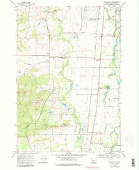
1969 Map of Greenberry
USGS Topo · Published 1980About this map
Muddy Creek meanders through the heart of this Willamette Valley landscape, shaping the wetlands and agricultural tracts south of Corvallis. The area is defined by the transition from the flat basin floor, where the Southern Pacific line runs straight through the settlement of Greenberry, to the rising hills of the southwest. A significant portion of the sheet is dedicated to the William L Finley National Wildlife Refuge, preserving the oak savanna and marsh habitat around Pigeon Butte. For genealogists, the map identifies several historic burial grounds including Armstrong Cem and Oakridge Cem, alongside the Inavale Sch. The eastern edge is dotted with oxbow lakes like Mc Bee Lake and Winkle Lake, remnants of the shifting hydrological history of the basin near the Long Tom River.
Find a feature on this map
41 named features on this map. Tap any name to fly to it.
Don’t see what you’re looking for? This feature index may not catch every label — zoom into the map to look around manually.
Map Details
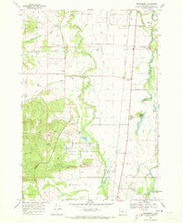
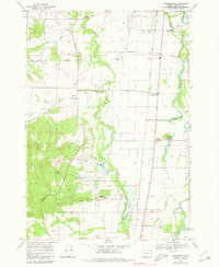
Editions of this 1969 Greenberry Map
3 editions found
Other maps of this area

1909 · Harrisburg
USGS Topo · 1:31,680

1911 · Monroe
USGS Topo · 1:31,680

1911 · Inavale
USGS Topo · 1:31,680

1912 · Halsey
USGS Topo · 1:62,500

1913 · Philomath
USGS Topo · 1:31,680

1913 · Oakville
USGS Topo · 1:31,680

1916 · Albany
USGS Topo · 1:62,500

1921 · Corvallis
USGS Topo · 1:62,500

1922 · Monroe
USGS Topo · 1:62,500

1939 · Monroe
USGS Topo · 1:62,500