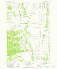
1969 Map of Greenberry
USGS Topo · Published 1980About this map
The William L Finley National Wildlife Refuge dominates the southern landscape of this Benton County survey, preserving a complex wetland ecosystem where Muddy Creek feeds into McFadden Marsh. The 1969 data shows a rural community defined by agricultural drainage and the Southern Pacific rail line, which passes through the small settlement of Greenberry. To the north, the terrain transitions into riverine features near the Long Tom R, including John Smith Island and the Booneville (Site), indicating the shifting course of local waterways. Genealogists will find notable value in the location of several family-named landmarks and burial grounds, such as Oakridge Cem and Armstrong Cem. The map also captures local education and infrastructure through the Inavale Sch and the Airport near the Corvallis boundary, illustrating the balance between conservation lands and the expanding mid-valley rural footprint.
Find a feature on this map
42 named features on this map. Tap any name to fly to it.
Don’t see what you’re looking for? This feature index may not catch every label — zoom into the map to look around manually.
Map Details
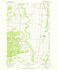
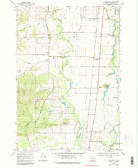
Editions of this 1969 Greenberry Map
3 editions found
Other maps of this area

1909 · Harrisburg
USGS Topo · 1:31,680

1911 · Monroe
USGS Topo · 1:31,680

1911 · Inavale
USGS Topo · 1:31,680

1912 · Halsey
USGS Topo · 1:62,500

1913 · Philomath
USGS Topo · 1:31,680

1913 · Oakville
USGS Topo · 1:31,680

1916 · Albany
USGS Topo · 1:62,500

1921 · Corvallis
USGS Topo · 1:62,500

1922 · Monroe
USGS Topo · 1:62,500

1939 · Monroe
USGS Topo · 1:62,500