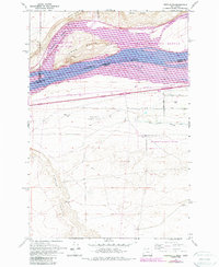
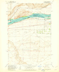
1962 Map of Crow Butte
USGS Topo · Published 1987About this map
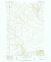
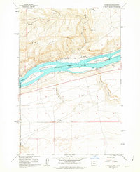
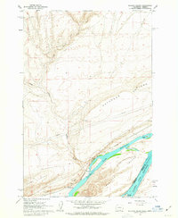
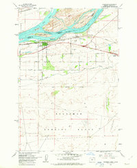
Lake Columbia dominates the northern landscape of this Columbia River survey, where the river serves as a natural boundary between Klickitat and Benton counties in Washington and Morrow County in Oregon. The prominence of Crow Butte and the surrounding Crow Butte State Park highlights the distinct geography of this bend in the river, while the Umatilla National Wildlife Refuge preserves the riparian environment. This area is a significant transportation corridor, featuring the Burlington Northern railroad running along the northern bank and the Union Pacific tracks to the south. Further inland, the presence of the Boardman Flight Strip and the edge of the Boardman Bombing Range indicates the region's mid-century military and aviation utility. The irrigation infrastructure, including the West Extension Irrigation Canal, suggests the transition of this arid landscape into productive territory through managed water systems.
Find a feature on this map
24 named features on this map. Tap any name to fly to it.
Don’t see what you’re looking for? This feature index may not catch every label — zoom into the map to look around manually.
Map Details
Editions of this 1962 Crow Butte Map
4 editions found
Other maps of this area

1906 · Blalock Island
USGS Topo · 1:125,000

1908 · Blalock Island
USGS Topo · 1:125,000

1953 · Pendleton
USGS Topo · 1:250,000

1956 · Pendleton
USGS Topo · 1:250,000
1962 · Phinny Hill
USGS Topo · 1:24,000
1962 · Canoe Ridge
USGS Topo · 1:24,000
1962 · Alderdale
USGS Topo · 1:24,000
1962 · Blalock Island
USGS Topo · 1:24,000
1962 · Boardman
USGS Topo · 1:24,000
1962 · Crow Butte
USGS Topo · 1:24,000