
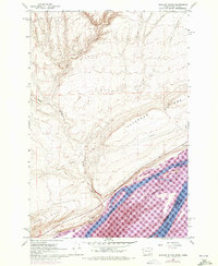
1962 Map of Blalock Island
USGS Topo · Published 1963About this map
Columbia River geography defines this 1962 landscape along the Washington and Oregon border, where the river splits into the North Channel and South Channel to encompass the substantial Blalock Island. The terrain is marked by the prominent elevations of Paterson Ridge and Canoe Ridge, which parallel the water. Transportation and infrastructure are centered on the river's edge, notably featuring the Portland Seattle and Spokane rail line and a prominent Pipeline cutting across the desert upland.
Find a feature on this map
19 named features on this map. Tap any name to fly to it.
Don’t see what you’re looking for? This feature index may not catch every label — zoom into the map to look around manually.
Map Details
Editions of this 1962 Blalock Island Map
2 editions found
Other maps of this area

1906 · Blalock Island
USGS Topo · 1:125,000

1908 · Blalock Island
USGS Topo · 1:125,000

1915 · Prosser
USGS Topo · 1:125,000

1917 · Prosser
USGS Topo · 1:125,000

1953 · Pendleton
USGS Topo · 1:250,000

1953 · Walla Walla
USGS Topo · 1:250,000

1956 · Pendleton
USGS Topo · 1:250,000

1958 · Walla Walla
USGS Topo · 1:250,000

1962 · Canoe Ridge
USGS Topo · 1:24,000

1962 · Paterson
USGS Topo · 1:24,000