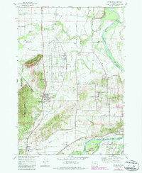
1970 Map of Lewisburg
USGS Topo · Published 1987About this map
Adair Village and the adjacent E E Wilson Game Management Area dominate the central landscape of this Willamette Valley survey. The transition from the alluvial floor to the hills is marked by the presence of Mc Donald Forest and landmarks like Coffin Butte and Poison Oak Hill. This era shows a mix of agricultural legacy and institutional growth, with the Oregon State Univ Test Field Lab and various rural schools like Fir Grove Sch and Oak Grove Sch serving the local communities. Along the eastern edge, the Willamette River meanders through complex sloughs, including Bowers Slough, bordering Bowers Rocks State Park. Transportation is defined by the Southern Pacific and Oregon Electric rail lines, which connect small settlements such as Wellsdale, Granger, and Suver to the broader regional economy.
Find a feature on this map
67 named features on this map. Tap any name to fly to it.
Don’t see what you’re looking for? This feature index may not catch every label — zoom into the map to look around manually.
Map Details
Editions of this 1970 Lewisburg Map
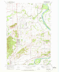
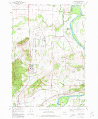
3 editions found
Other maps of this area

1911 · Tangent
USGS Topo · 1:31,680

1912 · Jefferson
USGS Topo · 1:31,680

1913 · Philomath
USGS Topo · 1:31,680

1913 · Oakville
USGS Topo · 1:31,680

1913 · Wells
USGS Topo · 1:31,680

1914 · Independence
USGS Topo · 1:31,680

1914 · Soap Creek
USGS Topo · 1:31,680

1915 · Sidney
USGS Topo · 1:31,680

1916 · Albany
USGS Topo · 1:62,500

1917 · Salem
USGS Topo · 1:62,500