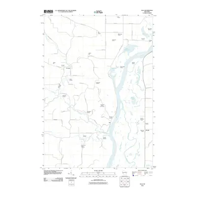
2010 Map of Ella
USGS Topo · Published 2010About this map
The Chippewa River valley defines this region of Buffalo County, where the main channel and a complex network of backwaters like Buffalo Slough and Little Buffalo Slough create a braided aquatic landscape. Historically significant settlements such as Porcupine, Ella, and Maxville are situated along the river's terrace and the surrounding bluffs. The terrain is marked by distinctive coulees—narrow valleys or drainage-ways—including Patten Coulee, Frickland Coulee, and Paradise Coulee, which dictate the local road patterns and land use. High points like Gates Hill, Ganoe Hill, and the Eau Galle Mound provide vantage points over the river bottomlands.
Find a feature on this map
78 named features on this map. Tap any name to fly to it.
Don’t see what you’re looking for? This feature index may not catch every label — zoom into the map to look around manually.
Map Details
Editions of this 2010 Ella Map
This is the sole edition of this map. No revisions or reprints were ever made.
Other maps of this area

1929 · Durand
USGS Topo · 1:62,500

1932 · Wabasha
USGS Topo · 1:62,500

1932 · Durand
USGS Topo · 1:62,500

1932 · Alma
USGS Topo · 1:62,500

1935 · Arkansaw
USGS Topo · 1:48,000

1941 · Arkansaw
USGS Topo · 1:62,500

1942 · Arkansaw
USGS Topo · 1:62,500

1950 · Alma
USGS Topo · 1:62,500

1951 · Wabasha
USGS Topo · 1:62,500

1953 · Saint Paul
USGS Topo · 1:250,000