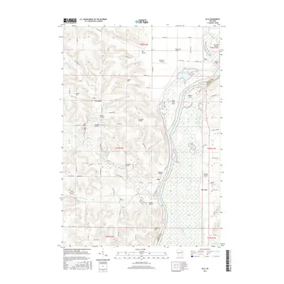
2015 Map of Ella
USGS Topo · Published 2015About this map
Chippewa River meanders along the eastern edge of this landscape, creating a complex network of backwaters including Buffalo Slough, Dead Lake, and Stump Lake. The river's influence is evident in the formation of Buffalo Island and the broad Dead Lake Prairie. West of the river, the terrain rises into a series of coulees and hills, where agricultural life is centered around small settlements like Porcupine and Ella.
Find a feature on this map
94 named features on this map. Tap any name to fly to it.
Don’t see what you’re looking for? This feature index may not catch every label — zoom into the map to look around manually.
Map Details
Editions of this 2015 Ella Map
This is the sole edition of this map. No revisions or reprints were ever made.
Other maps of this area

1929 · Durand
USGS Topo · 1:62,500
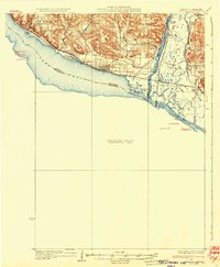
1932 · Wabasha
USGS Topo · 1:62,500

1932 · Durand
USGS Topo · 1:62,500
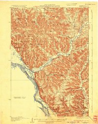
1932 · Alma
USGS Topo · 1:62,500
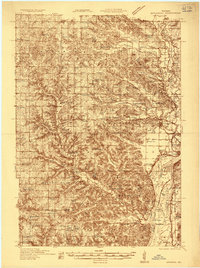
1935 · Arkansaw
USGS Topo · 1:48,000
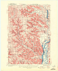
1941 · Arkansaw
USGS Topo · 1:62,500
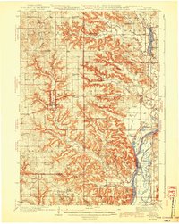
1942 · Arkansaw
USGS Topo · 1:62,500
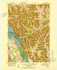
1950 · Alma
USGS Topo · 1:62,500
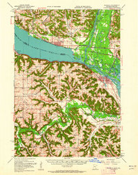
1951 · Wabasha
USGS Topo · 1:62,500

1953 · Saint Paul
USGS Topo · 1:250,000