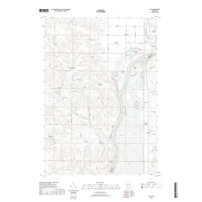
2018 Map of Ella
USGS Topo · Published 2018About this map
Chippewa River floodplains and the intricate channel of Buffalo Slough dominate the eastern landscape of this 2018 survey. The small community of Ella sits at the base of the bluff where Little Plum Cr meets the river valley, while higher elevations to the west are marked by numerous coulees such as Patten Coulee and Paradise Coulee. This terrain reflects a classic driftless-style topography where agriculture and settlement are dictated by the steep ravines and ridges like Ganoe Hill and Gates Hill. Genealogists will find several burial sites including Porcupine Cem and Little Plum Cem tucked into these narrow valleys. The presence of three small airfields, including the Durand Municipal Airport and Rutherford Airport, highlights the continued reliance on local aviation in this river-bound region.
Find a feature on this map
77 named features on this map. Tap any name to fly to it.
Don’t see what you’re looking for? This feature index may not catch every label — zoom into the map to look around manually.
Map Details
Editions of this 2018 Ella Map
This is the sole edition of this map. No revisions or reprints were ever made.
Other maps of this area

1929 · Durand
USGS Topo · 1:62,500

1932 · Wabasha
USGS Topo · 1:62,500

1932 · Durand
USGS Topo · 1:62,500

1932 · Alma
USGS Topo · 1:62,500

1935 · Arkansaw
USGS Topo · 1:48,000

1941 · Arkansaw
USGS Topo · 1:62,500

1942 · Arkansaw
USGS Topo · 1:62,500

1950 · Alma
USGS Topo · 1:62,500

1951 · Wabasha
USGS Topo · 1:62,500

1953 · Saint Paul
USGS Topo · 1:250,000